
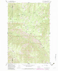
1967 Map of Stentz Spring
USGS Topo · Published 1971About this map
The Umatilla National Forest occupies this remote section of the Blue Mountains, where the boundary between Columbia and Garfield Counties meets. In the late 1960s, this landscape was defined by an extensive network of fire lookouts, springs, and high ridges used for forest management and recreation. The Clearwater Guard Station and a nearby Lookout Tower serve as central points for forest administration, overseeing deep drainages like the Tucannon River and North Fork Asotin Creek. The terrain is marked by descriptive, local nomenclature including the steep Hard-to-get-to Ridge and the Devils Eyebrow. Numerous seasonal camps and water sources like Stentz Spring and Teal Spring Campground highlight the area's importance for early backcountry travelers and forest rangers before modernized road access dominated the region.
Find a feature on this map
67 named features on this map. Tap any name to fly to it.
Don’t see what you’re looking for? This feature index may not catch every label — zoom into the map to look around manually.
Map Details
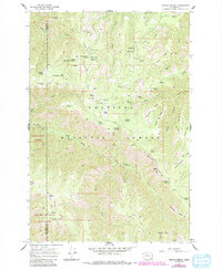
Editions of this 1967 Stentz Spring Map
3 editions found
Other maps of this area

1937 · Pomeroy
USGS Topo · 1:96,000

1942 · Pomeroy
USGS Topo · 1:125,000

1943 · Peola
USGS Topo · 1:62,500

1943 · Saddle Butte
USGS Topo · 1:62,500

1946 · Saddle Butte
USGS Topo · 1:62,500

1946 · Peola
USGS Topo · 1:62,500

1955 · Pullman
USGS Topo · 1:250,000

1958 · Pullman
USGS Topo · 1:250,000

1967 · Rose Springs
USGS Topo · 1:24,000

1967 · Hopkins Ridge
USGS Topo · 1:24,000