
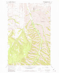
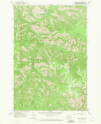
1967 Map of Hopkins Ridge
USGS Topo · Published 1971About this map
The Tucannon River carves a deep valley through the high country of the Umatilla National Forest, creating a landscape defined by sharp ridges and seasonal drainages. In the late 1960s, this area of the Blue Mountains served as a hub for conservation and recreation, anchored by the Tucannon Guard Sta and a dedicated Fish Hatchery near Rainbow Lake. The map reveals a network of primitive access points, including numerous trails and jeep trails that traverse family-named landmarks like Starvout Ridge and Hopkins Ridge.
Find a feature on this map
31 named features on this map. Tap any name to fly to it.
Don’t see what you’re looking for? This feature index may not catch every label — zoom into the map to look around manually.
Map Details
Editions of this 1967 Hopkins Ridge Map
4 editions found
Other maps of this area

1937 · Pomeroy
USGS Topo · 1:96,000

1942 · Pomeroy
USGS Topo · 1:125,000

1955 · Pullman
USGS Topo · 1:250,000

1958 · Pullman
USGS Topo · 1:250,000

1967 · Rose Springs
USGS Topo · 1:24,000

1967 · Cahill Mtn
USGS Topo · 1:24,000
1967 · Pomeroy
USGS Topo · 1:24,000

1967 · Stentz Spring
USGS Topo · 1:24,000

1967 · Turner
USGS Topo · 1:24,000
1967 · Panjab Creek
USGS Topo · 1:24,000