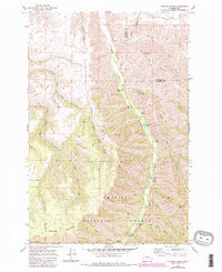
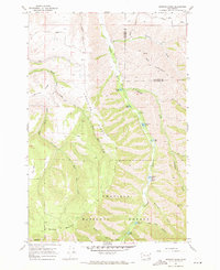
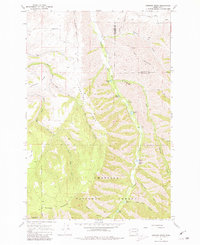
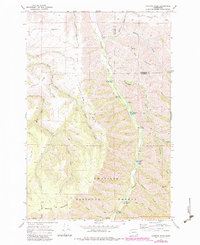
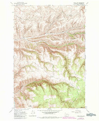
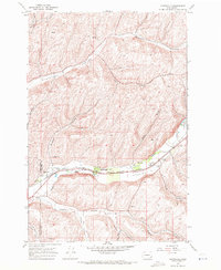
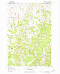
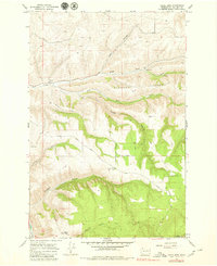
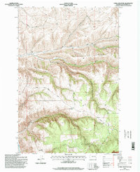
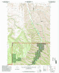
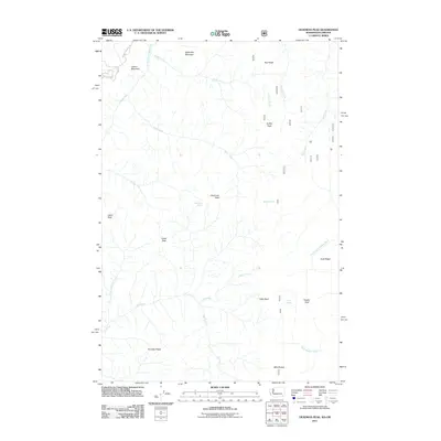
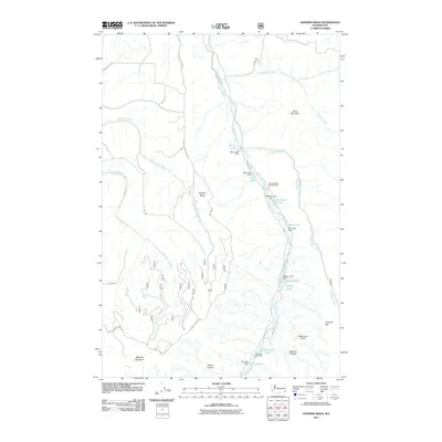
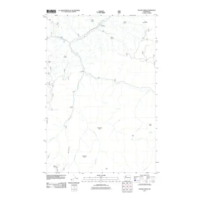
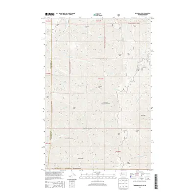
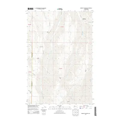
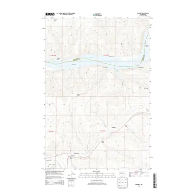
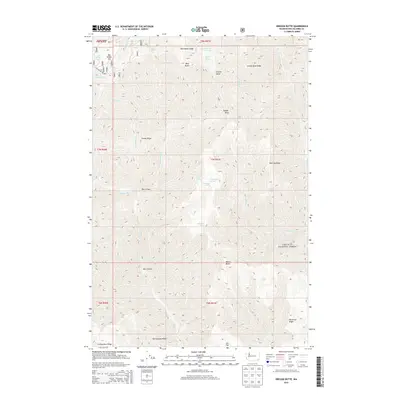
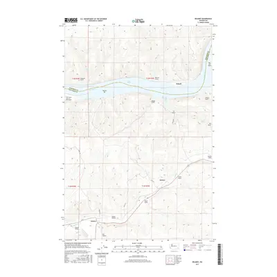
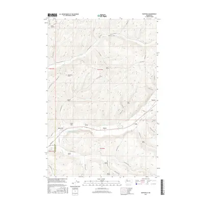
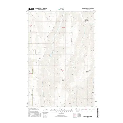
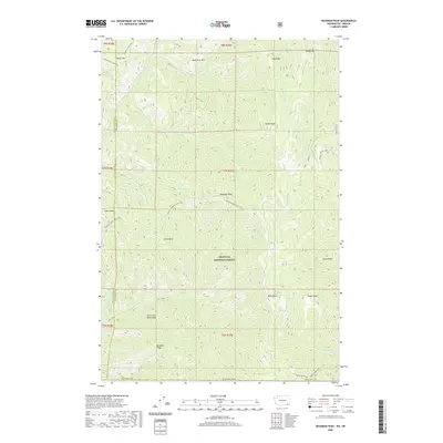
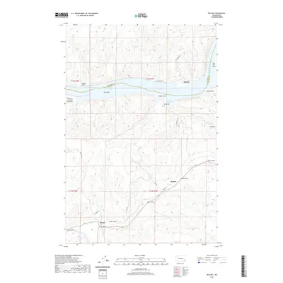
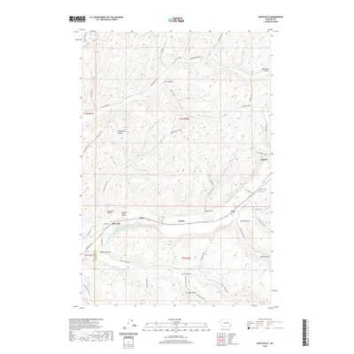
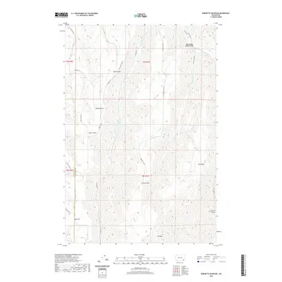
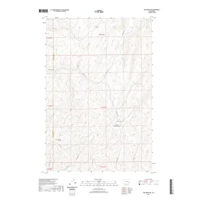
1967 Map of Hopkins Ridge
USGS Topo · Published 1983About this map
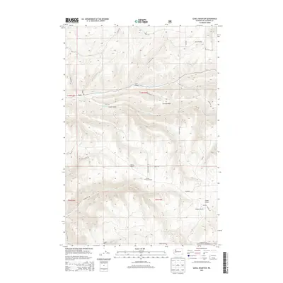
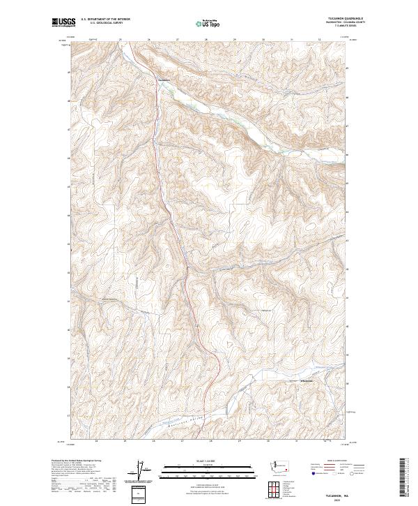
Hopkins Ridge and Starvout Ridge dominate this portion of the Blue Mountains, where the deep drainage of the Tucannon River cuts through the northern reaches of the Umatilla National Forest. The landscape is defined by its steep elevation changes and a network of named canyons and gulches, including School Canyon and Waterman Gulch. Small high-elevation lakes like Spring Lake, Blue Lake, and Rainbow Lake are concentrated near a Fish Hatchery along the river, indicating the area's role in local conservation and recreation during the mid-20th century.
Find a feature on this map
29 named features on this map. Tap any name to fly to it.
Don’t see what you’re looking for? This feature index may not catch every label — zoom into the map to look around manually.
Map Details
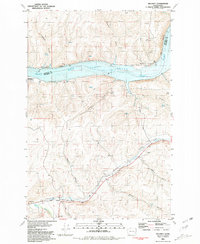
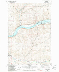
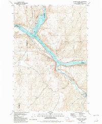
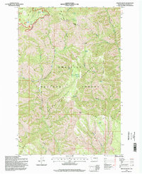
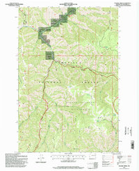
Editions of this 1967 Hopkins Ridge Map
4 editions found
Historical Maps of Columbia County Through Time
104 maps found
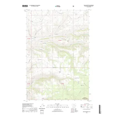
1967 Cahill Mountain
Columbia County, WA
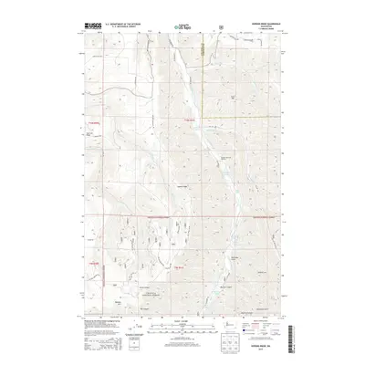
1967 Deadman Peak
Columbia County, WA
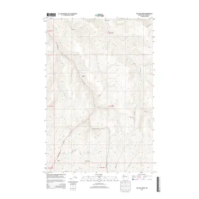
1967 Eckler Mtn
Columbia County, WA
1967 Godman Spring
Columbia County, WA
1967 Hopkins Ridge
Columbia County, WA
1967 Huntsville
Columbia County, WA
1967 Kellogg Creek
Columbia County, WA
1967 Oregon Butte
Columbia County, WA
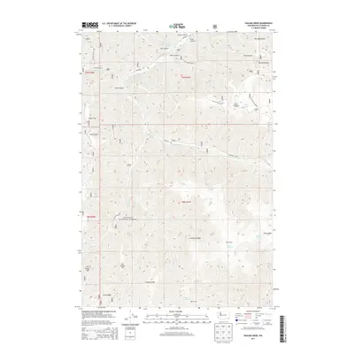
1967 Panjab Creek
Columbia County, WA
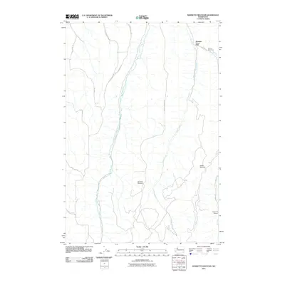
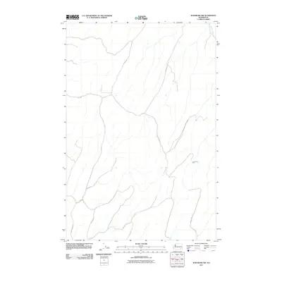
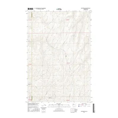
1967 Robinette Mtn.
Columbia County, WA
1967 Tucannon
Columbia County, WA
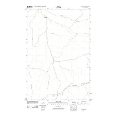
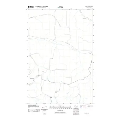
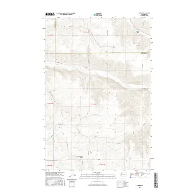
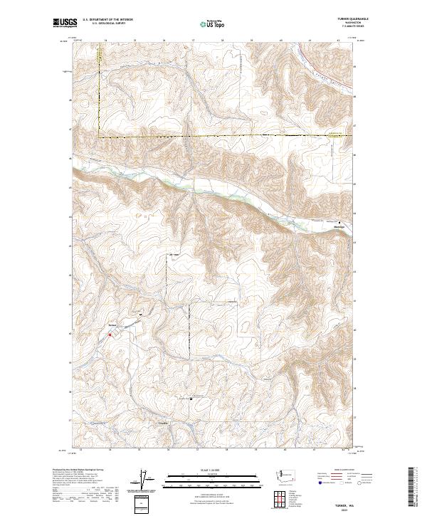
1967 Turner
Columbia County, WA
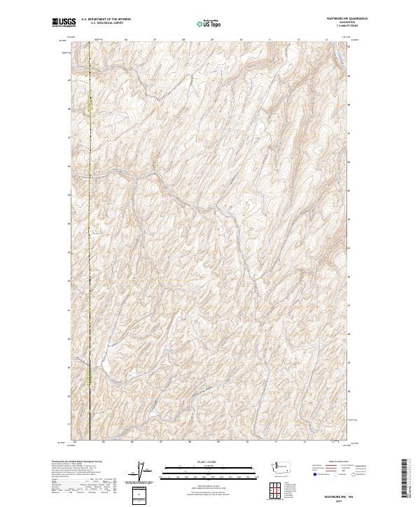
1967 Waitsburg NW
Columbia County, WA
1976 Cahill Mtn
Columbia County, WA
1981 Delaney
Columbia County, WA
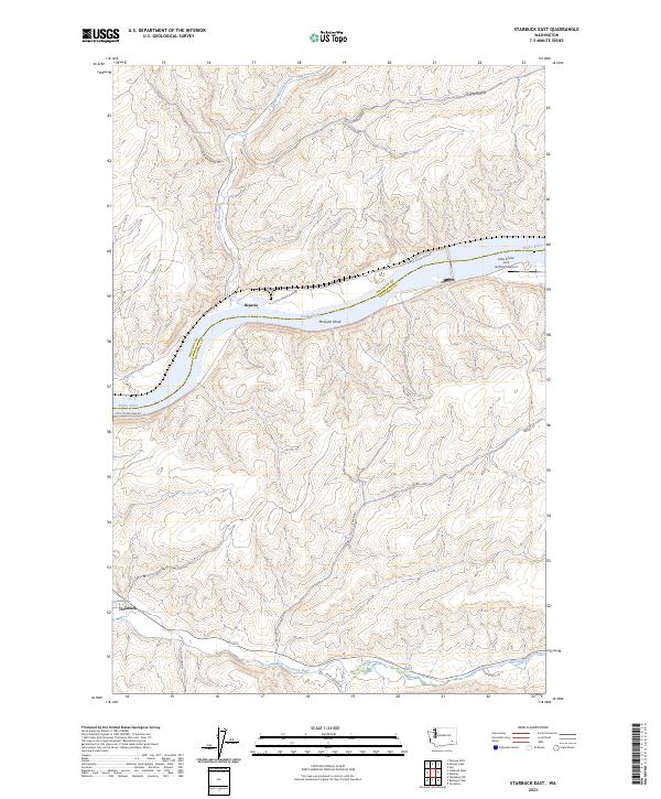
1981 Starbuck East
Columbia County, WA
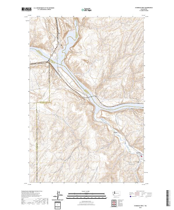
1981 Starbuck West
Columbia County, WA
1995 Cahill Mountain
Columbia County, WA
1995 Deadman Peak
Columbia County, WA
1995 Eckler Mountain
Columbia County, WA
1995 Godman Spring
Columbia County, WA
1995 Hopkins Ridge
Columbia County, WA
1995 Oregon Butte
Columbia County, WA
1995 Panjab Creek
Columbia County, WA
2011 Cahill Mountain
Columbia County, WA
2011 Deadman Peak
Columbia County, WA
2011 Delaney
Columbia County, WA
2011 Eckler Mountain
Columbia County, WA
2011 Godman Spring
Columbia County, WA
2011 Hopkins Ridge
Columbia County, WA
2011 Huntsville
Columbia County, WA
2011 Kellogg Creek
Columbia County, WA
2011 Oregon Butte
Columbia County, WA
2011 Panjab Creek
Columbia County, WA
2011 Robinette Mountain
Columbia County, WA
2011 Starbuck East
Columbia County, WA
2011 Starbuck West
Columbia County, WA
2011 Tucannon
Columbia County, WA
2011 Turner
Columbia County, WA
2011 Waitsburg NW
Columbia County, WA
2013 Cahill Mountain
Columbia County, WA
2013 Deadman Peak
Columbia County, WA
2013 Hopkins Ridge
Columbia County, WA
2013 Kellogg Creek
Columbia County, WA
2013 Panjab Creek
Columbia County, WA
2013 Robinette Mountain
Columbia County, WA
2013 Starbuck East
Columbia County, WA
2013 Starbuck West
Columbia County, WA
2013 Tucannon
Columbia County, WA

2013 Turner
Columbia County, WA
2014 Delaney
Columbia County, WA
2014 Eckler Mountain
Columbia County, WA
2014 Godman Spring
Columbia County, WA
2014 Huntsville
Columbia County, WA
2014 Oregon Butte
Columbia County, WA
2014 Waitsburg NW
Columbia County, WA
2017 Cahill Mountain
Columbia County, WA
2017 Deadman Peak
Columbia County, WA
2017 Delaney
Columbia County, WA
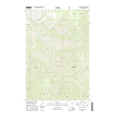
2017 Eckler Mountain
Columbia County, WA
2017 Godman Spring
Columbia County, WA
2017 Hopkins Ridge
Columbia County, WA
2017 Huntsville
Columbia County, WA
2017 Kellogg Creek
Columbia County, WA
2017 Oregon Butte
Columbia County, WA
2017 Panjab Creek
Columbia County, WA
2017 Robinette Mountain
Columbia County, WA
2017 Starbuck East
Columbia County, WA
2017 Starbuck West
Columbia County, WA
2017 Tucannon
Columbia County, WA
2017 Turner
Columbia County, WA
2017 Waitsburg NW
Columbia County, WA
2020 Cahill Mountain
Columbia County, WA
2020 Deadman Peak
Columbia County, WA
2020 Delaney
Columbia County, WA
2020 Eckler Mountain
Columbia County, WA
2020 Godman Spring
Columbia County, WA
2020 Hopkins Ridge
Columbia County, WA
2020 Huntsville
Columbia County, WA
2020 Kellogg Creek
Columbia County, WA
2020 Oregon Butte
Columbia County, WA
2020 Panjab Creek
Columbia County, WA
2020 Robinette Mountain
Columbia County, WA
2020 Starbuck East
Columbia County, WA

2020 Starbuck West
Columbia County, WA
2020 Tucannon
Columbia County, WA
2020 Turner
Columbia County, WA
2020 Waitsburg NW
Columbia County, WA
2023 Cahill Mountain
Columbia County, WA
2023 Deadman Peak
Columbia County, WA
2023 Delaney
Columbia County, WA
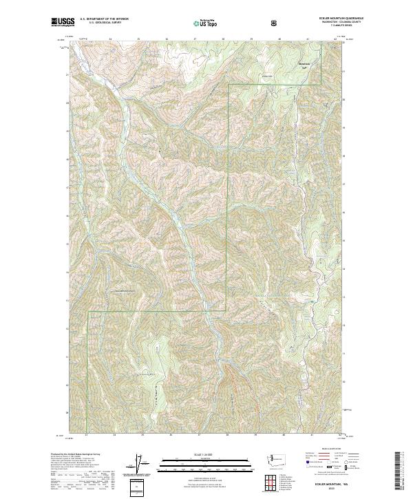
2023 Eckler Mountain
Columbia County, WA
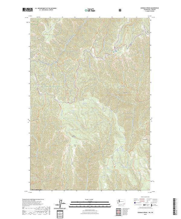
2023 Godman Spring
Columbia County, WA
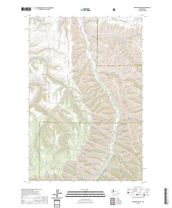
2023 Hopkins Ridge
Columbia County, WA
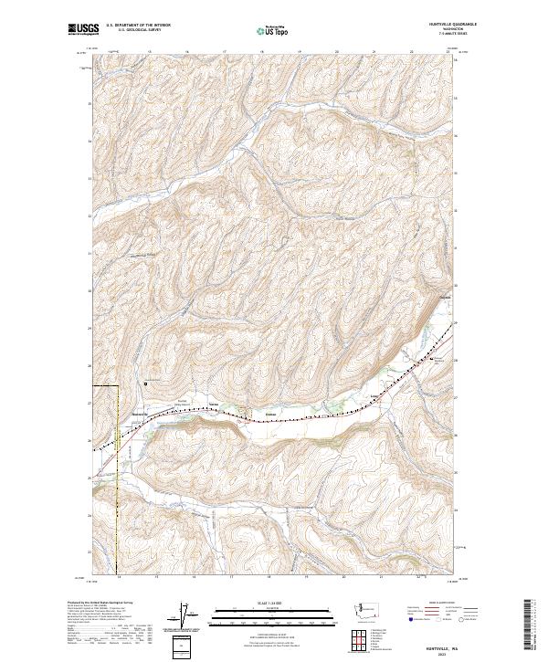
2023 Huntsville
Columbia County, WA
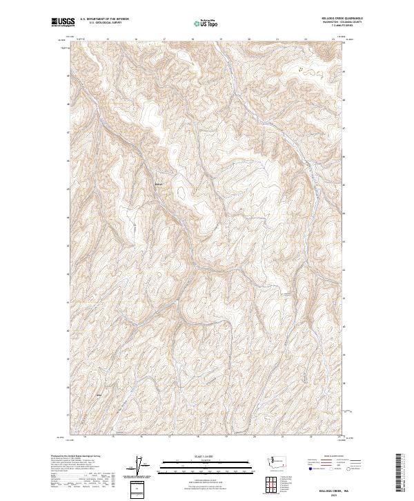
2023 Kellogg Creek
Columbia County, WA
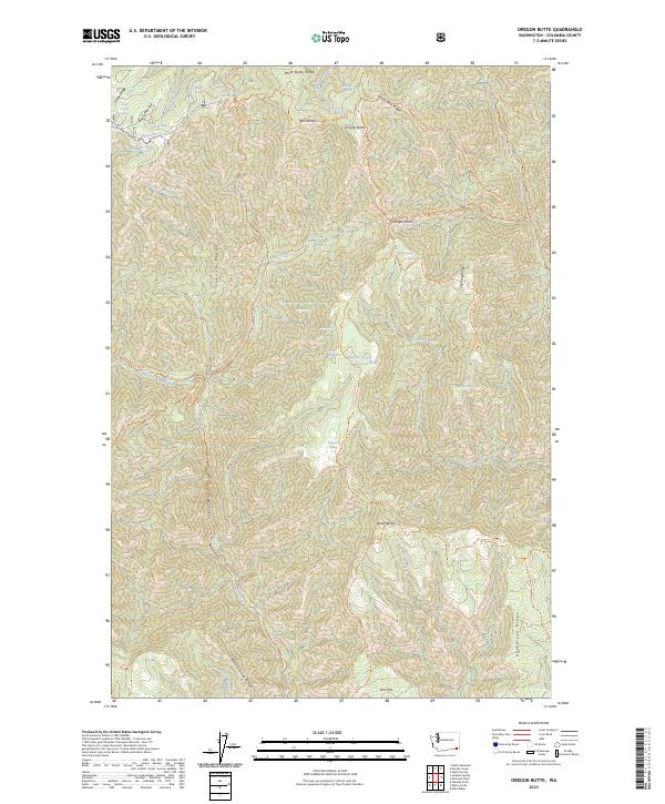
2023 Oregon Butte
Columbia County, WA
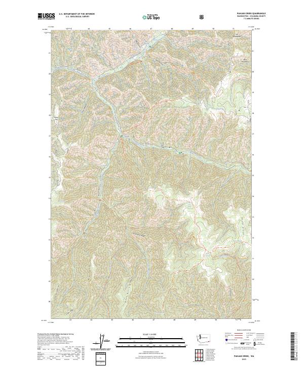
2023 Panjab Creek
Columbia County, WA
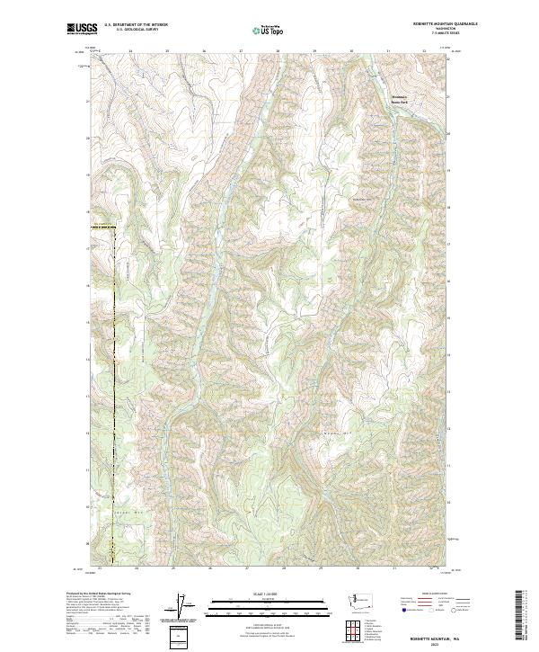
2023 Robinette Mountain
Columbia County, WA
2023 Starbuck East
Columbia County, WA
2023 Starbuck West
Columbia County, WA
2023 Tucannon
Columbia County, WA
2023 Turner
Columbia County, WA
2023 Waitsburg NW
Columbia County, WA