
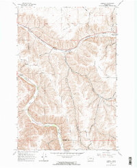
1967 Map of Cahill Mtn
USGS Topo · Published 1971About this map
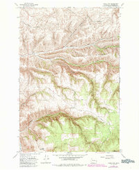
Starvout Ridge and the deep incisions of the Patit Creek drainage define this landscape in the late 1960s. The map documents the northern reaches of the Umatilla N F, where the transition from high ridgeline roads like Kendall Skyline Road to the canyon floor reveals a rugged topography utilized for forestry and conservation. Researchers will find the identified Patit (Site) near the confluence of North Patit Creek and West Patit Creek, marking the location of a former settlement or established point in the valley. High-altitude infrastructure is represented by the Thorn Lookout Tower and markers like Pioneer Memorial Park, while the network of mountain routes, including Bruce Road and various jeep trails, shows the era's access points into the Cahill Mountain backcountry.
Find a feature on this map
25 named features on this map. Tap any name to fly to it.
Don’t see what you’re looking for? This feature index may not catch every label — zoom into the map to look around manually.
Map Details
Editions of this 1967 Cahill Mtn Map
2 editions found
Other maps of this area

1937 · Pomeroy
USGS Topo · 1:96,000

1942 · Pomeroy
USGS Topo · 1:125,000

1955 · Pullman
USGS Topo · 1:250,000

1958 · Pullman
USGS Topo · 1:250,000
1967 · Robinette Mtn.
USGS Topo · 1:24,000

1967 · Hopkins Ridge
USGS Topo · 1:24,000

1967 · Turner
USGS Topo · 1:24,000
1967 · Dayton
USGS Topo · 1:24,000
1967 · Panjab Creek
USGS Topo · 1:24,000
1967 · Zumwalt
USGS Topo · 1:24,000