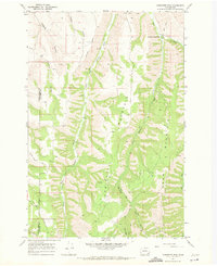
1967 Map of Robinette Mtn.
USGS Topo · Published 1967About this map
The South Fork Touchet River and its various tributaries carve a complex drainage system through the high country of the Walla Walla Co Columbia Co border. Recorded in 1967, the landscape is defined by long, narrow ridges and deep depressions such as Hogeye Hollow, Payne Hollow, and Dustin Hollow. These features reflect a traditional Pacific Northwest upland geography where water access dictated the placement of early routes like Whiskey Creek Road.
Find a feature on this map
17 named features on this map. Tap any name to fly to it.
Don’t see what you’re looking for? This feature index may not catch every label — zoom into the map to look around manually.
Map Details
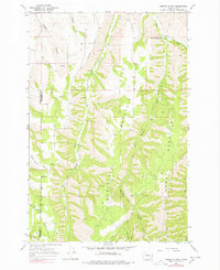
Editions of this 1967 Robinette Mtn. Map
2 editions found
Other maps of this area

1919 · Walla Walla
USGS Topo · 1:125,000

1921 · Walla Walla
USGS Topo · 1:125,000

1937 · Pomeroy
USGS Topo · 1:96,000

1942 · Pomeroy
USGS Topo · 1:125,000

1953 · Walla Walla
USGS Topo · 1:250,000

1955 · Pullman
USGS Topo · 1:250,000

1958 · Pullman
USGS Topo · 1:250,000

1958 · Walla Walla
USGS Topo · 1:250,000
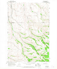
1966 · Coppei
USGS Topo · 1:24,000
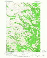
1966 · Kooskooskie
USGS Topo · 1:24,000