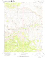
1968 Map of Pinnacle Canyon
USGS Topo · Published 1979About this map
Bad Land Cliffs dominate the northern terrain of this 1968 survey, giving way to a deeply incised landscape where the Duchesne Co and Carbon Co line follows the winding course of Nine Mile Creek. This drainage serves as the primary geographic axis for a network of named tributary canyons including Desbrough Canyon, Devils Canyon, and Franks Canyon. The map documents a period of remote land use characterized by a solitary Jeep Trail and a scattered Drill Hole, signifying early mineral or geological exploration.
Find a feature on this map
16 named features on this map. Tap any name to fly to it.
Don’t see what you’re looking for? This feature index may not catch every label — zoom into the map to look around manually.
Map Details
Editions of this 1968 Pinnacle Canyon Map
2 editions found
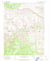
Other maps of this area

1885 · East Tavaputs
USGS Topo · 1:250,000

1886 · Price River
USGS Topo · 1:250,000

1896 · Price River
USGS Topo · 1:250,000

1953 · Nutters Hole
USGS Topo · 1:62,500

1953 · Firewater Canyon
USGS Topo · 1:62,500

1954 · Flat Canyon
USGS Topo · 1:62,500

1956 · Price
USGS Topo · 1:250,000

1956 · Grand Junction
USGS Topo · 1:250,000

1959 · Grand Junction
USGS Topo · 1:250,000

1960 · Price
USGS Topo · 1:250,000