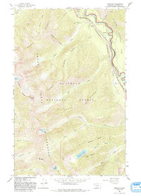
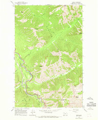
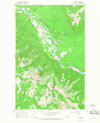
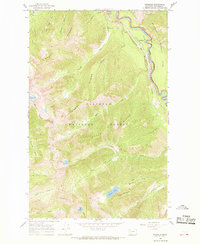
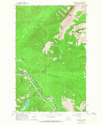
1964 Map of Pinnacle
USGS Topo · Published 1993About this map
Pinnacle sits at a critical transit point where the Middle Fork Flathead River carves a canyon between the high peaks of Glacier National Park and the Flathead National Forest. This 1963-1964 survey documents a landscape defined by movement through the Stevens Pass corridor, following the route of the Theodore Roosevelt Highway and the railroad engineering required to navigate this terrain, including Tunnel No 2 and Tunnel No 3.
Find a feature on this map
42 named features on this map. Tap any name to fly to it.
Don’t see what you’re looking for? This feature index may not catch every label — zoom into the map to look around manually.
Map Details
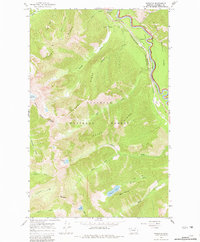
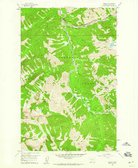
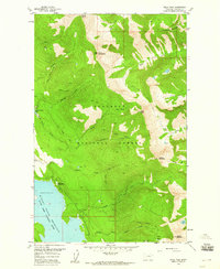
Editions of this 1964 Pinnacle Map
3 editions found
Other maps of this area

1914 · Nyack
USGS Topo · 1:125,000
1958 · Nimrod
USGS Topo · 1:24,000
1958 · Felix Peak
USGS Topo · 1:24,000

1960 · Cut Bank
USGS Topo · 1:250,000

1963 · Cut Bank
USGS Topo · 1:250,000

1964 · Cut Bank
USGS Topo · 1:250,000
1964 · Essex
USGS Topo · 1:24,000
1964 · Nyack
USGS Topo · 1:24,000
1964 · Pinnacle
USGS Topo · 1:24,000
1964 · Stanton Lake
USGS Topo · 1:24,000