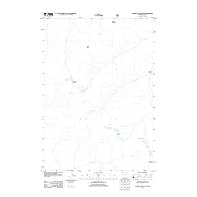
2012 Map of Pinnacle Mountain
USGS Topo · Published 2012About this map
Pinnacle Mountain serves as the namesake peak in this high-elevation wilderness within Park County, where the hydrology of the Absaroka Range is defined by a series of steep drainages. The map records a landscape dominated by topographic extremes, from the heights of Howell Mountain and Eagle Nest to the deep depressions of Glacier Basin. Water flows through a complex network of seasonal and perennial streams, including Cloudburst Cr, Avalanche Cr, and Fishhawk Cr, which eventually feed into the Howell Fork.
Find a feature on this map
16 named features on this map. Tap any name to fly to it.
Don’t see what you’re looking for? This feature index may not catch every label — zoom into the map to look around manually.
Map Details
Editions of this 2012 Pinnacle Mountain Map
This is the sole edition of this map. No revisions or reprints were ever made.
Other maps of this area

1885 · Lake
USGS Topo · 1:125,000

1893 · Ishawooa
USGS Topo · 1:125,000

1895 · Ishawooa
USGS Topo · 1:125,000

1895 · Lake
USGS Topo · 1:125,000

1896 · Lake
USGS Topo · 1:125,000

1899 · Ishawooa
USGS Topo · 1:125,000

1901 · Lake
USGS Topo · 1:125,000

1906 · Lake
USGS Topo · 1:125,000

1911 · Lake
USGS Topo · 1:125,000

1955 · Ashton
USGS Topo · 1:250,000