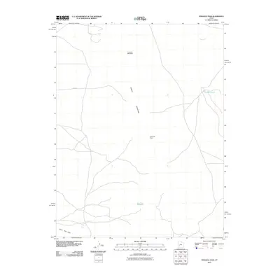
2010 Map of Pinnacle Pass
USGS Topo · Published 2010About this map
Antelope Mountain and the Mineral Mountains define the high ground of this Millard County landscape, a region where water sources dictate the movement of people and livestock. Low-lying drainage patterns are anchored by features like Cove Creek and the Negro Mag Wash, while the Salt Cove Reservoir and Salt Spring suggest a history of water management in a desert environment. The presence of Hodgsen Pond in the northeast corner, near the intersection of several local routes, highlights a rare permanent water feature in the basin. This survey documents the area as it appeared in the early 21st century, illustrating how natural landmarks like Pinnacle Pass continue to serve as primary navigational waypoints through the mountain gaps.
Find a feature on this map
10 named features on this map. Tap any name to fly to it.
Don’t see what you’re looking for? This feature index may not catch every label — zoom into the map to look around manually.
Map Details
Editions of this 2010 Pinnacle Pass Map
This is the sole edition of this map. No revisions or reprints were ever made.
Other maps of this area

1885 · Beaver
USGS Topo · 1:250,000

1953 · Richfield
USGS Topo · 1:250,000

1958 · Richfield
USGS Topo · 1:250,000

1958 · Beaver
USGS Topo · 1:62,500

1958 · Adamsville
USGS Topo · 1:62,500

1958 · Ranch Canyon
USGS Topo · 1:24,000

1962 · Cove Fort
USGS Topo · 1:62,500

1973 · Pinnacle Pass
USGS Topo · 1:24,000

1973 · Antelope Spring
USGS Topo · 1:24,000

1973 · Black Rock
USGS Topo · 1:24,000