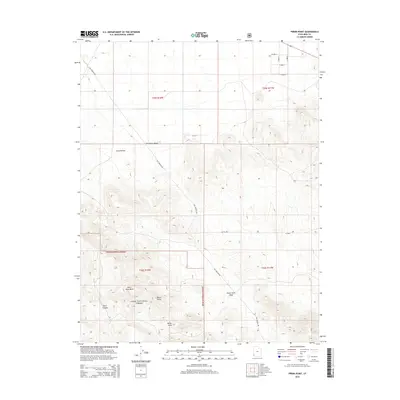
2014 Map of Pinon Point
USGS Topo · Published 2014About this map
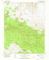
Escalante Desert sands meet the rising elevations of the North Hills in this detailed survey of southwestern Iron County. The landscape is dominated by the boundary of the Dixie National Forest, which covers the southern half of the quadrangle. The terrain transitions from the open flats of the desert in the north to the more complex topography of Rock Canyon and the prominent Pinon Point. Water drainage patterns are clearly defined by Pinon Park Wash, while the historic route of Old Modena Rd cuts through the area, tracing a path between the northern desert and the higher wooded elevations. This 2014 edition provides a clear view of the modern land divisions and access roads, including the intersection of W 2000 N and W 200 N as they extend across the arid landscape.
Find a feature on this map
17 named features on this map. Tap any name to fly to it.
Don’t see what you’re looking for? This feature index may not catch every label — zoom into the map to look around manually.
Map Details
Editions of this 2014 Pinon Point Map
This is the sole edition of this map. No revisions or reprints were ever made.
Other maps of this area

1885 · St. George
USGS Topo · 1:250,000

1891 · St. George
USGS Topo · 1:250,000

1953 · Cedar City
USGS Topo · 1:250,000

1958 · Cedar City
USGS Topo · 1:250,000

1962 · Cedar City
USGS Topo · 1:250,000
1972 · Modena
USGS Topo · 1:24,000
1972 · Yale Crossing
USGS Topo · 1:24,000

1972 · Pinon Point
USGS Topo · 1:24,000
1972 · Beryl Junction
USGS Topo · 1:24,000
1972 · Mount Escalante
USGS Topo · 1:24,000