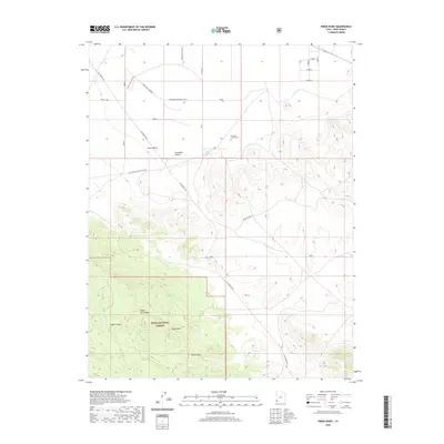
2020 Map of Pinon Point
USGS Topo · Published 2020About this map
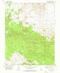
The Escalante Desert dominates the northern reaches of this map, transitioning into the elevation of the North Hills and the timbered slopes of the Dixie National Forest further south. Local history is anchored at the Peterson Family Cem, which sits near the junction of several rural access routes like Old Modena Rd and W Modena-Enterprise East N. The landscape is defined by its drainage patterns, including Pinon Park Wash and Sevy Hollow, which guide the path of early cutoffs and ranching roads through the arid terrain. The geographic centerpiece, Pinon Point, stands as a landmark above Rock Canyon, overlooking a grid of section lines and modern infrastructure like the Radio Tower W. This survey provides a clear look at the intersection of public lands and private family holdings in a sparsely settled corner of the state.
Find a feature on this map
20 named features on this map. Tap any name to fly to it.
Don’t see what you’re looking for? This feature index may not catch every label — zoom into the map to look around manually.
Map Details
Editions of this 2020 Pinon Point Map
This is the sole edition of this map. No revisions or reprints were ever made.
Other maps of this area

1885 · St. George
USGS Topo · 1:250,000

1891 · St. George
USGS Topo · 1:250,000

1953 · Cedar City
USGS Topo · 1:250,000

1958 · Cedar City
USGS Topo · 1:250,000

1962 · Cedar City
USGS Topo · 1:250,000
1972 · Modena
USGS Topo · 1:24,000
1972 · Yale Crossing
USGS Topo · 1:24,000

1972 · Pinon Point
USGS Topo · 1:24,000
1972 · Beryl Junction
USGS Topo · 1:24,000
1972 · Mount Escalante
USGS Topo · 1:24,000