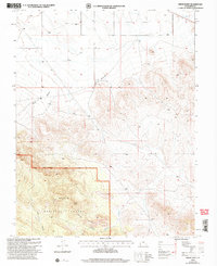
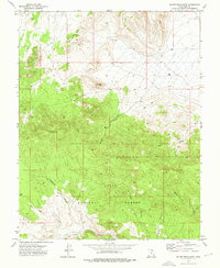
2002 Map of Pinon Point
USGS Topo · Published 2005About this map
Pinon Point and the surrounding high desert topography dominate this 2002 revision of Iron County land, which includes large portions of the Dixie National Forest. The map detail focuses on the transition between the North Hills and the steep, drainage-carved landscape of the Pine Valley Ranger District. Significant geographic markers include the Rock Canyon and Piñon Park Wash, which define the hydrological patterns of this arid region.
Find a feature on this map
11 named features on this map. Tap any name to fly to it.
Don’t see what you’re looking for? This feature index may not catch every label — zoom into the map to look around manually.
Map Details
Editions of this 2002 Pinon Point Map
This is the sole edition of this map. No revisions or reprints were ever made.
Other maps of this area

1885 · St. George
USGS Topo · 1:250,000

1891 · St. George
USGS Topo · 1:250,000

1953 · Cedar City
USGS Topo · 1:250,000

1958 · Cedar City
USGS Topo · 1:250,000

1962 · Cedar City
USGS Topo · 1:250,000
1972 · Modena
USGS Topo · 1:24,000
1972 · Yale Crossing
USGS Topo · 1:24,000

1972 · Pinon Point
USGS Topo · 1:24,000
1972 · Beryl Junction
USGS Topo · 1:24,000
1972 · Mount Escalante
USGS Topo · 1:24,000