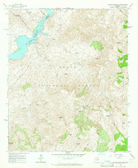
1964 Map of Pinyon Mountain
USGS Topo · Published 1965About this map
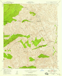
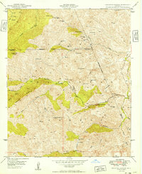
Apache Lake (Salt River) dominates the northwestern corner of this territory, where the boundary between Gila and Maricopa counties follows the submerged river channel. This portion of the Tonto National Forest is defined by high ridgelines and secluded canyons, including the Mazatzal Mountains and Two Bar Ridge. The landscape is dotted with vital water sources such as Winger Spring, Plow Saddle Springs, and Klondike Spring, which supported the livestock and small-scale operations of the era.
Find a feature on this map
38 named features on this map. Tap any name to fly to it.
Don’t see what you’re looking for? This feature index may not catch every label — zoom into the map to look around manually.
Map Details
Editions of this 1964 Pinyon Mountain Map
4 editions found
Other maps of this area

1900 · Florence
USGS Topo · 1:125,000

1902 · Florence
USGS Topo · 1:125,000

1907 · Roosevelt
USGS Topo · 1:125,000

1909 · Four Peaks
USGS Topo · 1:125,000

1912 · Roosevelt
USGS Topo · 1:125,000

1948 · Superior
USGS Topo · 1:62,500

1948 · Iron Mountain
USGS Topo · 1:24,000
1948 · Haunted Canyon
USGS Topo · 1:24,000

1949 · Iron Mountain
USGS Topo · 1:24,000
1949 · Haunted Canyon
USGS Topo · 1:24,000