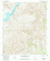
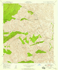
1964 Map of Pinyon Mountain
USGS Topo · Published 1985About this map
Apache Lake dominates the northwest corner of this terrain, marking a significant engineering point along the Salt River. The map illustrates a transitional landscape where the Mazatzal Mountains meet the high ridges of the Tonto National Forest. Traces of human activity are scattered across the high country, including several Ruins and a Heliport near the water's edge, suggesting both historical habitation and modern forest management.
Find a feature on this map
38 named features on this map. Tap any name to fly to it.
Don’t see what you’re looking for? This feature index may not catch every label — zoom into the map to look around manually.
Map Details
Editions of this 1964 Pinyon Mountain Map
4 editions found
Other maps of this area

1900 · Florence
USGS Topo · 1:125,000

1902 · Florence
USGS Topo · 1:125,000

1907 · Roosevelt
USGS Topo · 1:125,000

1909 · Four Peaks
USGS Topo · 1:125,000

1912 · Roosevelt
USGS Topo · 1:125,000

1948 · Superior
USGS Topo · 1:62,500

1948 · Iron Mountain
USGS Topo · 1:24,000
1948 · Haunted Canyon
USGS Topo · 1:24,000

1949 · Iron Mountain
USGS Topo · 1:24,000
1949 · Haunted Canyon
USGS Topo · 1:24,000