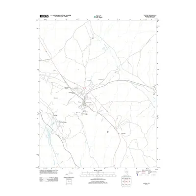
2012 Map of Pioche
USGS Topo · Published 2012About this map
Pioche sits at the heart of this high-desert landscape, serving as the focal point for a region deeply defined by its industrial history. The terrain is marked by significant topographical features such as Mount Ely and Treasure Hill, which overlook the complex network of roads and drainages like Patterson Wash and Little Red Wash. The spatial arrangement of the land reflects a legacy of extraction, with the Pioche Mines Mill and Caselton Mill positioned near established settlements.
Find a feature on this map
42 named features on this map. Tap any name to fly to it.
Don’t see what you’re looking for? This feature index may not catch every label — zoom into the map to look around manually.
Map Details
Editions of this 2012 Pioche Map
This is the sole edition of this map. No revisions or reprints were ever made.
Other maps of this area

1885 · Pioche
USGS Topo · 1:250,000

1886 · Pioche
USGS Topo · 1:250,000

1915 · Bristol Range
USGS Topo · 1:62,500

1916 · Highland
USGS Topo · 1:62,500

1917 · Bristol Range
USGS Topo · 1:62,500

1918 · Highland
USGS Topo · 1:62,500

1921 · NW 1/4 Panaca
USGS Topo · 1:48,000

1953 · Highland Peak
USGS Topo · 1:24,000

1953 · Bristol Range SE
USGS Topo · 1:24,000

1953 · Pioche
USGS Topo · 1:24,000