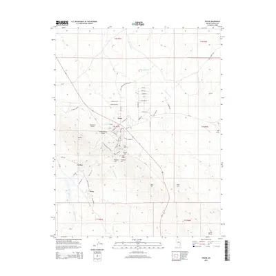
2014 Map of Pioche
USGS Topo · Published 2014About this map
Pioche serves as the central hub of this Lincoln County survey, illustrating the concentrated street grid and residential layout of the historic mining community. The landscape is defined by its industrial legacy, with local roads like Ely Valley Mine Rd and Boothill Cemetary Rd hinting at the town's frontier heritage. To the southwest, the smaller settlements of Caselton and Prince are situated at the base of prominent terrain features like Mt Ely and the Pioche Hills.
Find a feature on this map
62 named features on this map. Tap any name to fly to it.
Don’t see what you’re looking for? This feature index may not catch every label — zoom into the map to look around manually.
Map Details
Editions of this 2014 Pioche Map
This is the sole edition of this map. No revisions or reprints were ever made.
Other maps of this area

1885 · Pioche
USGS Topo · 1:250,000

1886 · Pioche
USGS Topo · 1:250,000

1915 · Bristol Range
USGS Topo · 1:62,500

1916 · Highland
USGS Topo · 1:62,500

1917 · Bristol Range
USGS Topo · 1:62,500

1918 · Highland
USGS Topo · 1:62,500

1921 · NW 1/4 Panaca
USGS Topo · 1:48,000

1953 · Highland Peak
USGS Topo · 1:24,000

1953 · Bristol Range SE
USGS Topo · 1:24,000

1953 · Pioche
USGS Topo · 1:24,000