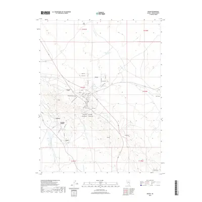
2018 Map of Pioche
USGS Topo · Published 2018About this map
Pioche sits as the central settlement in this eastern Nevada landscape, surrounded by a complex topography of ridges and mining-era footprints. The town is flanked by the Pioche Hills and notable heights such as Treasure Hill, Williams Hill, and Step Ridge, suggesting a history tied to the mineral-rich geology of the Highland Range. To the south and west, smaller residential and industrial clusters like Caselton, Caselton Heights, and Prince are connected by a network of local roads including Prince Rd and Caselton Dr.
Find a feature on this map
45 named features on this map. Tap any name to fly to it.
Don’t see what you’re looking for? This feature index may not catch every label — zoom into the map to look around manually.
Map Details
Editions of this 2018 Pioche Map
This is the sole edition of this map. No revisions or reprints were ever made.
Other maps of this area

1885 · Pioche
USGS Topo · 1:250,000

1886 · Pioche
USGS Topo · 1:250,000

1915 · Bristol Range
USGS Topo · 1:62,500

1916 · Highland
USGS Topo · 1:62,500

1917 · Bristol Range
USGS Topo · 1:62,500

1918 · Highland
USGS Topo · 1:62,500

1921 · NW 1/4 Panaca
USGS Topo · 1:48,000

1953 · Highland Peak
USGS Topo · 1:24,000

1953 · Bristol Range SE
USGS Topo · 1:24,000

1953 · Pioche
USGS Topo · 1:24,000