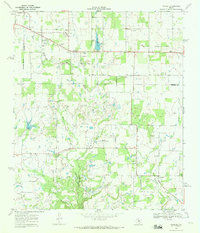
1969 Map of Pioneer
USGS Topo · Published 1972About this map
The Cross Cut Oil Field dominates this 1960s landscape at the intersection of Brown, Eastland, and Callahan Counties. This Texas petroleum-rich area is defined by a dense network of oil wells, gas wells, and an intricate pipeline system, reflecting the intensive resource extraction of the era. The small settlement of Pioneer sits near the northern edge of the sheet, adjacent to the Pioneer Cem and an Old Railroad Grade that once connected these rural communities.
Find a feature on this map
26 named features on this map. Tap any name to fly to it.
Don’t see what you’re looking for? This feature index may not catch every label — zoom into the map to look around manually.
Map Details
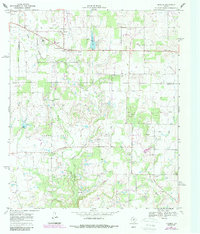
Editions of this 1969 Pioneer Map
2 editions found
Other maps of this area

1887 · Coleman
USGS Topo · 1:125,000

1889 · Brownwood
USGS Topo · 1:125,000

1889 · Coleman
USGS Topo · 1:125,000

1894 · Eastland
USGS Topo · 1:125,000

1894 · Brownwood
USGS Topo · 1:125,000

1924 · Coleman 1-a
USGS Topo · 1:48,000

1924 · Brownwood Reservoir Site
USGS Topo · 1:48,000

1927 · Grosvenor
USGS Topo · 1:62,500

1931 · Baird
USGS Topo · 1:125,000

1932 · Baird
USGS Topo · 1:125,000