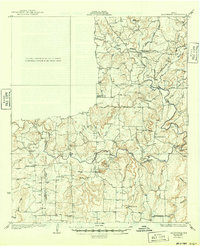
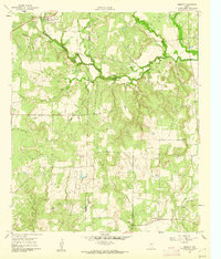
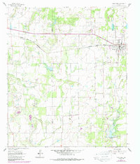
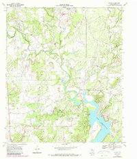
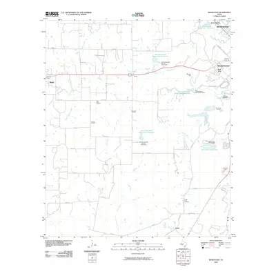
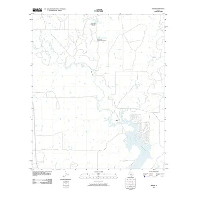
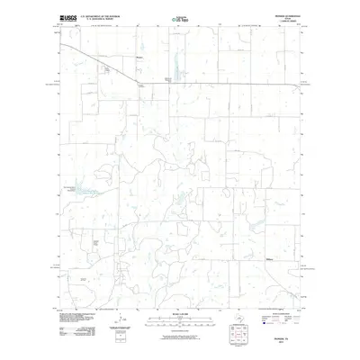
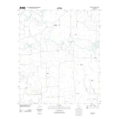
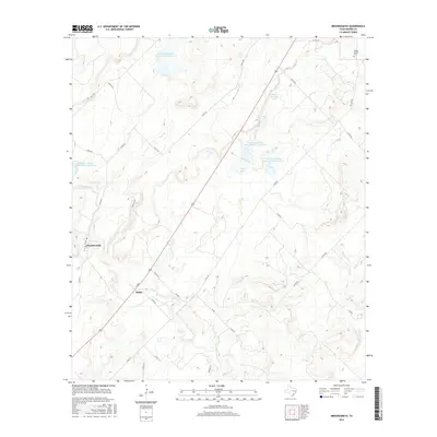
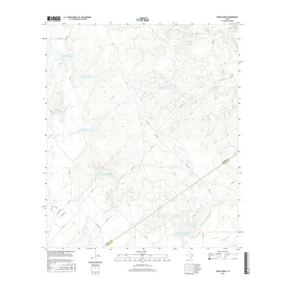
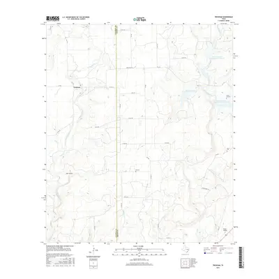
1969 Map of Pioneer
USGS Topo · Published 1987About this map
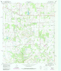
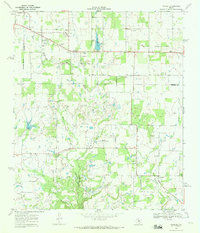
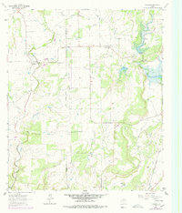
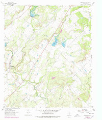
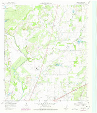
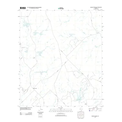
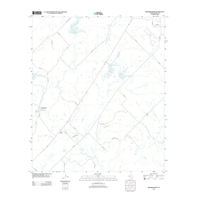
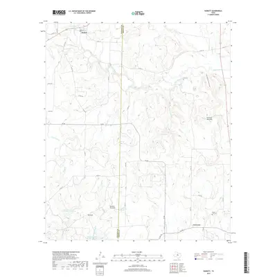
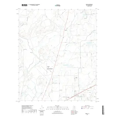
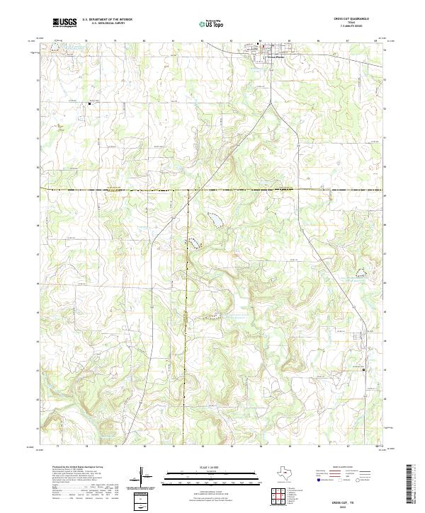
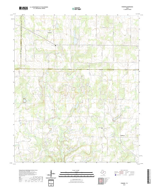
Pioneer and the surrounding ranchlands of Brown and Eastland Counties are defined by a mid-century landscape of petroleum extraction and rural infrastructure. The Cross Cut Oil Field dominates the southern half of the map, where a dense network of wells and pipelines follows the winding course of Paint Creek and the Red River. Near the settlement of Pioneer, the map records the localized commerce of the era, including Storage Bins, a Drive-in Theater, and the Eakin Airport. Local recreation and transit are marked by Phil-Peco Lake and a Roadside Park along the highway. This survey, updated with 1980s aerial data, preserves the locations of family-history landmarks such as the Pioneer Cem and various gravel operations that supported the region's development. The convergence of Paint Creek and Lost Creek underscores the importance of seasonal water sources in this central Texas oil-and-cattle corridor.
Find a feature on this map
17 named features on this map. Tap any name to fly to it.
Don’t see what you’re looking for? This feature index may not catch every label — zoom into the map to look around manually.
Map Details
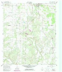
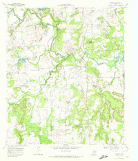
Editions of this 1969 Pioneer Map
2 editions found
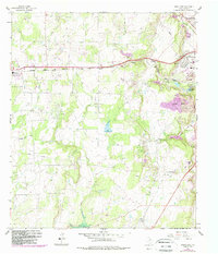
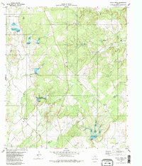
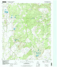
Historical Maps of Pioneer Through Time
71 maps found

1924 Brownwood Reservoir Site
Brown County, TX
1924 Coleman 1-a
Brown County, TX
1925 Brownwood 3-b
Brown County, TX
1927 Grosvenor
Brown County, TX
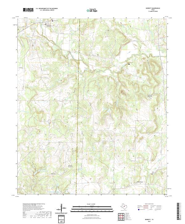
1960 Burkett
Brown County, TX
1960 Cross Cut
Brown County, TX
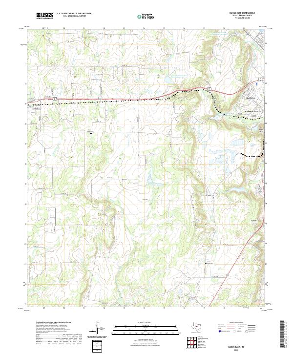
1962 Bangs East
Brown County, TX
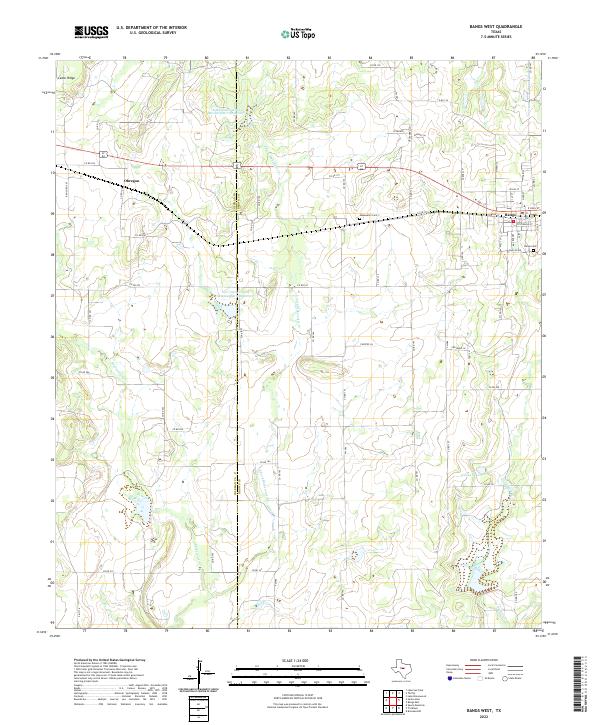
1962 Bangs West
Brown County, TX
1962 Trickham
Brown County, TX
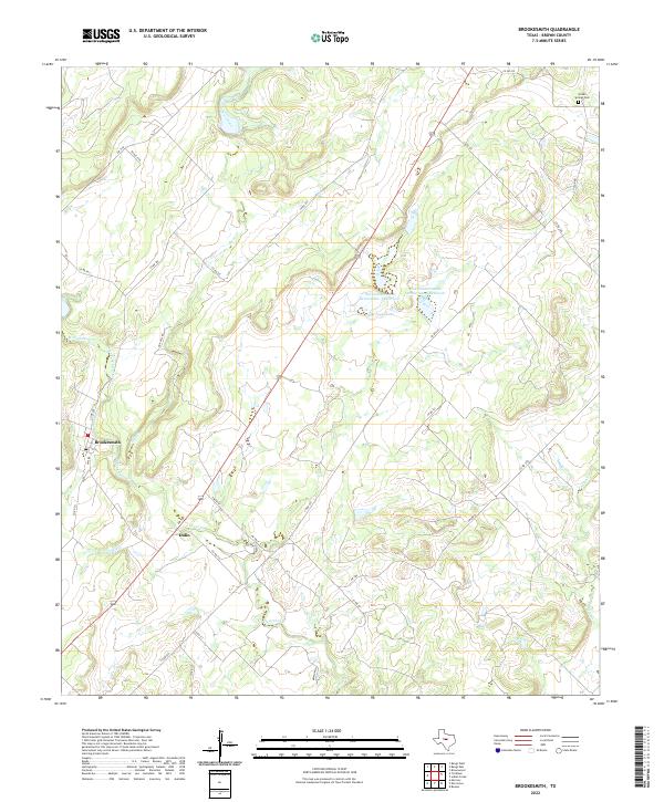
1963 Brooksmith
Brown County, TX
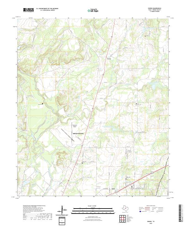
1966 Owens
Brown County, TX
1969 Byrds
Brown County, TX
1969 Pioneer
Brown County, TX
1969 Thrifty
Brown County, TX
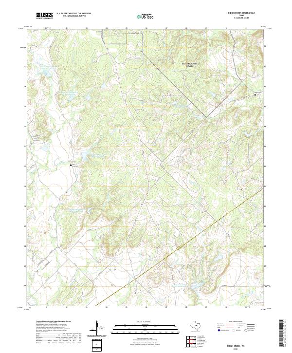
1979 Indian Creek
Brown County, TX
1997 Indian Creek
Brown County, TX
2010 Bangs East
Brown County, TX
2010 Bangs West
Brown County, TX
2010 Brookesmith
Brown County, TX
2010 Burkett
Brown County, TX
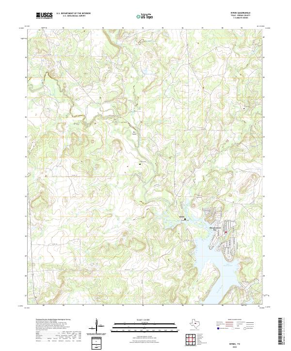
2010 Byrds
Brown County, TX
2010 Cross Cut
Brown County, TX
2010 Indian Creek
Brown County, TX
2010 Owens
Brown County, TX
2010 Pioneer
Brown County, TX
2010 Thrifty
Brown County, TX
2010 Trickham
Brown County, TX
2012 Cross Cut
Brown County, TX
2012 Indian Creek
Brown County, TX
2012 Pioneer
Brown County, TX
2013 Bangs East
Brown County, TX
2013 Bangs West
Brown County, TX
2013 Brookesmith
Brown County, TX
2013 Burkett
Brown County, TX
2013 Byrds
Brown County, TX
2013 Owens
Brown County, TX
2013 Thrifty
Brown County, TX
2013 Trickham
Brown County, TX
2016 Bangs East
Brown County, TX
2016 Bangs West
Brown County, TX
2016 Brookesmith
Brown County, TX
2016 Burkett
Brown County, TX
2016 Byrds
Brown County, TX
2016 Cross Cut
Brown County, TX
2016 Indian Creek
Brown County, TX
2016 Owens
Brown County, TX
2016 Pioneer
Brown County, TX
2016 Thrifty
Brown County, TX
2016 Trickham
Brown County, TX
2019 Bangs East
Brown County, TX
2019 Bangs West
Brown County, TX
2019 Brookesmith
Brown County, TX
2019 Burkett
Brown County, TX
2019 Byrds
Brown County, TX
2019 Cross Cut
Brown County, TX
2019 Indian Creek
Brown County, TX
2019 Owens
Brown County, TX
2019 Pioneer
Brown County, TX
2019 Thrifty
Brown County, TX
2019 Trickham
Brown County, TX
2022 Bangs East
Brown County, TX
2022 Bangs West
Brown County, TX
2022 Brookesmith
Brown County, TX
2022 Burkett
Brown County, TX
2022 Byrds
Brown County, TX
2022 Cross Cut
Brown County, TX
2022 Indian Creek
Brown County, TX
2022 Owens
Brown County, TX
2022 Pioneer
Brown County, TX
2022 Thrifty
Brown County, TX
2022 Trickham
Brown County, TX