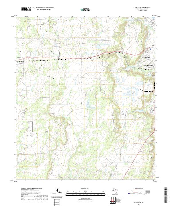
2022 Map of Bangs East
USGS Topo · Published 2022About this map
Agricultural lands and water management systems define the landscape between Bangs and the western edge of Brownwood in this Central Texas survey. The terrain is marked by a series of engineered reservoirs, including Soil Conservation Service Site 5 Reservoir and Soil Conservation Service Site 3 Reservoir, which regulate the flow of creeks like Willis Creek and Clear Creek. These features, alongside the Brownwood Water Supply Canal, underscore the region's reliance on managed water resources for its ranching and residential needs.
Find a feature on this map
86 named features on this map. Tap any name to fly to it.
Don’t see what you’re looking for? This feature index may not catch every label — zoom into the map to look around manually.
Map Details
Editions of this 2022 Bangs East Map
This is the sole edition of this map. No revisions or reprints were ever made.
Other maps of this area

1887 · Coleman
USGS Topo · 1:125,000

1889 · Brownwood
USGS Topo · 1:125,000

1889 · Coleman
USGS Topo · 1:125,000

1894 · Brownwood
USGS Topo · 1:125,000

1924 · Brownwood Reservoir Site
USGS Topo · 1:48,000

1925 · Brownwood 3-b
USGS Topo · 1:48,000

1927 · Grosvenor
USGS Topo · 1:62,500

1928 · Zephyr
USGS Topo · 1:62,500

1950 · Zephyr
USGS Topo · 1:62,500

1954 · Brownwood
USGS Topo · 1:250,000