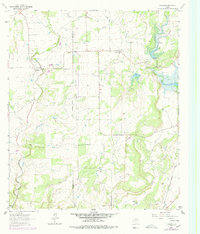
1962 Map of Trickham
USGS Topo · Published 1978About this map
Trickham and Shields anchor this rural landscape along the Coleman Co Brown Co line during the 1960s. The settlement at Trickham is situated near the confluence of Mukewater Creek and Hog Creek, featuring a local Gaging Sta and multiple Oil Wells. The terrain is defined by its watercourses and small family cemeteries, including Lee Cem and Rice Cem, which provide significant points for genealogical research.
Find a feature on this map
30 named features on this map. Tap any name to fly to it.
Don’t see what you’re looking for? This feature index may not catch every label — zoom into the map to look around manually.
Map Details
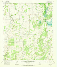
Editions of this 1962 Trickham Map
2 editions found
Other maps of this area

1887 · Coleman
USGS Topo · 1:125,000

1889 · Coleman
USGS Topo · 1:125,000

1894 · Brady
USGS Topo · 1:125,000

1924 · Brady 2-a
USGS Topo · 1:48,000

1925 · Brady 1-b
USGS Topo · 1:48,000

1925 · Brady 1-a
USGS Topo · 1:48,000

1928 · Mercury
USGS Topo · 1:62,500

1928 · Waldrip
USGS Topo · 1:62,500

1950 · Mercury
USGS Topo · 1:62,500

1954 · Brownwood
USGS Topo · 1:250,000