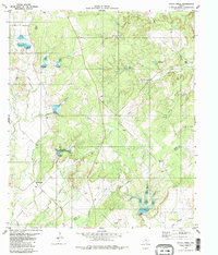
1979 Map of Indian Creek
USGS Topo · Published 1980About this map
Indian Creek forms the heart of this landscape along the Brown Co Mills Co line during the late 1970s. The area is defined by a dense network of seasonal drainages, including Terrapin Creek, Rough Creek, and Comanche Creek, which carve through the terrain toward the south. Small-scale resource extraction is evident from numerous Gravel Pits scattered near the watercourses, particularly around the Mackinally area and along the banks of Buffalo Creek.
Find a feature on this map
19 named features on this map. Tap any name to fly to it.
Don’t see what you’re looking for? This feature index may not catch every label — zoom into the map to look around manually.
Map Details
Editions of this 1979 Indian Creek Map
2 editions found
Other maps of this area

1885 · San Saba
USGS Topo · 1:125,000

1887 · Coleman
USGS Topo · 1:125,000

1889 · Brownwood
USGS Topo · 1:125,000

1889 · Coleman
USGS Topo · 1:125,000

1894 · Brady
USGS Topo · 1:125,000

1894 · Brownwood
USGS Topo · 1:125,000

1894 · San Saba
USGS Topo · 1:125,000

1925 · Brownwood 3-b
USGS Topo · 1:48,000

1925 · San Saba 2-a
USGS Topo · 1:48,000

1925 · Brady 1-a
USGS Topo · 1:48,000