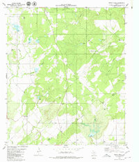
1979 Map of Indian Creek
USGS Topo · Published 1980About this map
Indian Creek lies at the heart of this central Texas landscape, where the northern reaches are dominated by the Camp Bowie Military Reservation. The terrain is defined by an intricate network of waterways, including Devils River and Mackinally Creek, which drain the varied topography of the Brown and Mills County line. This 1970s survey captures a rural environment where land use is split between government military holdings and small-scale infrastructure, evidenced by scattered Gravel Pits and the Spillway to the east.
Find a feature on this map
20 named features on this map. Tap any name to fly to it.
Don’t see what you’re looking for? This feature index may not catch every label — zoom into the map to look around manually.
Map Details
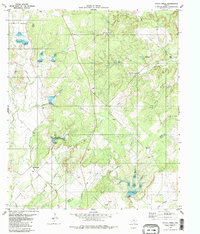
Editions of this 1979 Indian Creek Map
2 editions found
Other maps of this area

1885 · San Saba
USGS Topo · 1:125,000

1887 · Coleman
USGS Topo · 1:125,000

1889 · Brownwood
USGS Topo · 1:125,000

1889 · Coleman
USGS Topo · 1:125,000

1894 · Brady
USGS Topo · 1:125,000

1894 · Brownwood
USGS Topo · 1:125,000

1894 · San Saba
USGS Topo · 1:125,000

1925 · Brownwood 3-b
USGS Topo · 1:48,000

1925 · San Saba 2-a
USGS Topo · 1:48,000

1925 · Brady 1-a
USGS Topo · 1:48,000