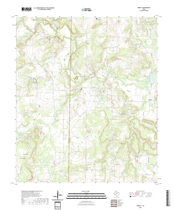
2022 Map of Thrifty
USGS Topo · Published 2022About this map
Thrifty occupies the northeastern corner of this landscape, situated along the drainage of Jim Ned Creek. The terrain is defined by a series of prominent elevations, including Mayberry Mtn, Indian Mtn, and the distinctive Cedar Ridge to the west. A network of rural county roads and local routes like Old Comanche Rd and N Santa Anna Mountain Rd cross the county line between Coleman and Brown Counties, linking scattered homesteads and ranches. For local historians and genealogists, the placement of Fairview Cem, Mud Creek Cem, and Salem Cem offers vital spatial context for early families. The area is heavily intersected by seasonal watercourses such as Little Mud Cr and Sand Creek, illustrating a landscape shaped by intermittent ranchland drainage and soil conservation efforts like the Soil Conservation Service Site 2 Reservoir.
Find a feature on this map
59 named features on this map. Tap any name to fly to it.
Don’t see what you’re looking for? This feature index may not catch every label — zoom into the map to look around manually.
Map Details
Editions of this 2022 Thrifty Map
This is the sole edition of this map. No revisions or reprints were ever made.
Other maps of this area

1887 · Coleman
USGS Topo · 1:125,000

1889 · Coleman
USGS Topo · 1:125,000

1924 · Coleman 1-a
USGS Topo · 1:48,000

1924 · Brownwood Reservoir Site
USGS Topo · 1:48,000

1927 · Grosvenor
USGS Topo · 1:62,500

1954 · Brownwood
USGS Topo · 1:250,000
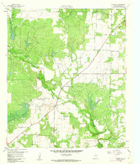
1960 · Coleman NE
USGS Topo · 1:24,000
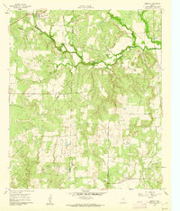
1960 · Burkett
USGS Topo · 1:24,000
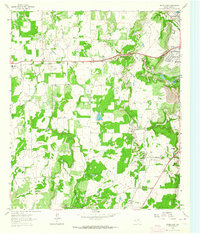
1962 · Bangs East
USGS Topo · 1:24,000

1962 · Santa Anna
USGS Topo · 1:24,000