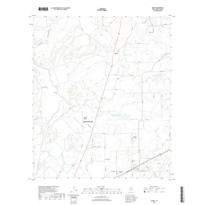
2019 Map of Owens
USGS Topo · Published 2019About this map
Brownwood and Early anchor the southern portion of this landscape, where the urban outskirts meet the rural expanse of Brown County. The area is defined by its complex drainage network, notably the winding path of Pecan Bayou and several tributaries like Salt Creek and Delaware Creek. This period reveals a landscape managed for water and transport, featuring multiple reservoirs such as Soil Conservation Service Site 11 Reservoir and the Brownwood Regional Airport. For those looking into local lineage, several family and community burial grounds are documented, including Heflin Cemetery in the north and Jones Chapel Cemetery near the southern settlements. Smaller communities and specialized sites like Owens and the Flying S Air Ranch illustrate the varied uses of the land as it transitions from municipal centers to open ranchland.
Find a feature on this map
73 named features on this map. Tap any name to fly to it.
Don’t see what you’re looking for? This feature index may not catch every label — zoom into the map to look around manually.
Map Details
Editions of this 2019 Owens Map
This is the sole edition of this map. No revisions or reprints were ever made.
Other maps of this area
1887 · Coleman
USGS Topo · 1:125,000
1889 · Brownwood
USGS Topo · 1:125,000
1889 · Coleman
USGS Topo · 1:125,000
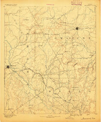
1894 · Brownwood
USGS Topo · 1:125,000
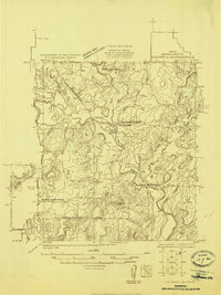
1924 · Coleman 1-a
USGS Topo · 1:48,000
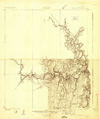
1924 · Brownwood Reservoir Site
USGS Topo · 1:48,000
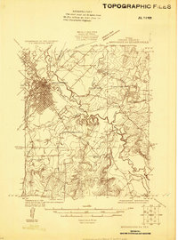
1925 · Brownwood 3-b
USGS Topo · 1:48,000
1927 · Grosvenor
USGS Topo · 1:62,500
1928 · Zephyr
USGS Topo · 1:62,500
1950 · Zephyr
USGS Topo · 1:62,500