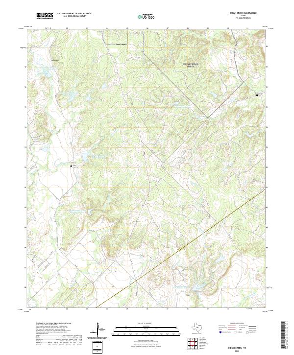
2022 Map of Indian Creek
USGS Topo · Published 2022About this map
Indian Creek Cem and Elkins Cem mark the rural landscape of this central Texas territory, where the topography is defined by an intricate network of seasonal drainage and water management systems. The county line between Brown County and Mills County cuts diagonally through the southern half of the sheet, reflecting the jurisdictional boundaries of the Edwards Plateau's edge.
Find a feature on this map
42 named features on this map. Tap any name to fly to it.
Don’t see what you’re looking for? This feature index may not catch every label — zoom into the map to look around manually.
Map Details
Editions of this 2022 Indian Creek Map
This is the sole edition of this map. No revisions or reprints were ever made.
Other maps of this area

1885 · San Saba
USGS Topo · 1:125,000

1887 · Coleman
USGS Topo · 1:125,000

1889 · Brownwood
USGS Topo · 1:125,000

1889 · Coleman
USGS Topo · 1:125,000

1894 · Brady
USGS Topo · 1:125,000

1894 · Brownwood
USGS Topo · 1:125,000

1894 · San Saba
USGS Topo · 1:125,000

1925 · Brownwood 3-b
USGS Topo · 1:48,000

1925 · San Saba 2-a
USGS Topo · 1:48,000

1925 · Brady 1-a
USGS Topo · 1:48,000