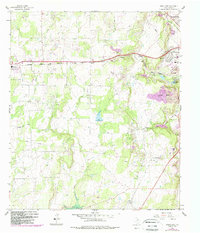
1962 Map of Bangs East
USGS Topo · Published 1988About this map
The Brownwood Strip Mine Oil Field dominates the eastern landscape of this survey, illustrating the intensive extraction economy of Brown County during the mid-20th century. Extending westward from Brownwood, the terrain is defined by a dense network of energy and industrial sites, including the Childress Oil Field and the Clear Creek Oil Field, alongside numerous unnamed gravel pits and quarries.
Find a feature on this map
29 named features on this map. Tap any name to fly to it.
Don’t see what you’re looking for? This feature index may not catch every label — zoom into the map to look around manually.
Map Details
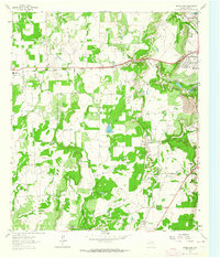
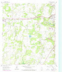
Editions of this 1962 Bangs East Map
3 editions found
Other maps of this area

1887 · Coleman
USGS Topo · 1:125,000

1889 · Brownwood
USGS Topo · 1:125,000

1889 · Coleman
USGS Topo · 1:125,000

1894 · Brownwood
USGS Topo · 1:125,000

1924 · Brownwood Reservoir Site
USGS Topo · 1:48,000

1925 · Brownwood 3-b
USGS Topo · 1:48,000

1927 · Grosvenor
USGS Topo · 1:62,500

1928 · Zephyr
USGS Topo · 1:62,500

1950 · Zephyr
USGS Topo · 1:62,500

1954 · Brownwood
USGS Topo · 1:250,000