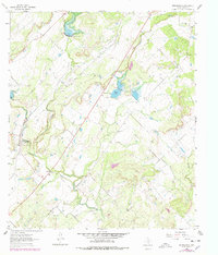
1963 Map of Brooksmith
USGS Topo · Published 1978About this map
The community of Brooksmith anchors this mid-century survey of Brown County, situated along the West Fork Clear Creek. This landscape is defined by the transition from ranching and agricultural land to an active extractive economy, as evidenced by the numerous Gas Wells, Oil Wells, and Gravel Pits that dot the terrain. Water management is a central feature of the area, notably at Coggin Lake and along the winding course of Clear Creek, which flows southeast toward the junction near Dulin. For genealogists, the Jordan Springs Cem in the northeast corner provides a critical point of interest for family history research. The topography is marked by significant elevations like the Bluff, which overlooks the reservoir system. This map, based on 1960s field data with late 1970s revisions, illustrates the persistent network of unimproved roads and light-duty paths that connected these rural Texas settlements before further modernization.
Find a feature on this map
15 named features on this map. Tap any name to fly to it.
Don’t see what you’re looking for? This feature index may not catch every label — zoom into the map to look around manually.
Map Details
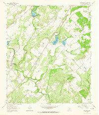
Editions of this 1963 Brooksmith Map
2 editions found
Other maps of this area

1885 · San Saba
USGS Topo · 1:125,000

1887 · Coleman
USGS Topo · 1:125,000

1889 · Brownwood
USGS Topo · 1:125,000

1889 · Coleman
USGS Topo · 1:125,000

1894 · Brady
USGS Topo · 1:125,000

1894 · Brownwood
USGS Topo · 1:125,000

1894 · San Saba
USGS Topo · 1:125,000

1925 · Brownwood 3-b
USGS Topo · 1:48,000

1925 · Brady 1-b
USGS Topo · 1:48,000

1925 · Brady 1-a
USGS Topo · 1:48,000