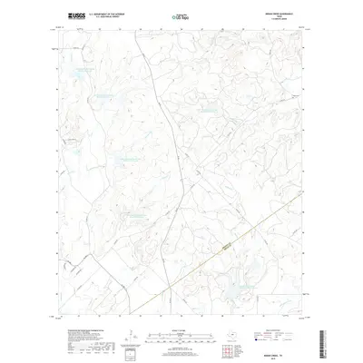
2019 Map of Indian Creek
USGS Topo · Published 2019About this map
The Brown Co Mills Co boundary line anchors this Central Texas landscape, where land management and water conservation define the rural character. The terrain is marked by a series of engineered water bodies, including Soil Conservation Service Site One Reservoir and Soil Conservation Service Site Five Reservoir, which regulate the flow of local drainages like Indian Cr and Buffalo Cr. These structures reflect the region's mid-to-late 20th-century focus on watershed protection and flood control in the Colorado River basin.
Find a feature on this map
40 named features on this map. Tap any name to fly to it.
Don’t see what you’re looking for? This feature index may not catch every label — zoom into the map to look around manually.
Map Details
Editions of this 2019 Indian Creek Map
This is the sole edition of this map. No revisions or reprints were ever made.
Other maps of this area
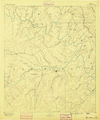
1885 · San Saba
USGS Topo · 1:125,000
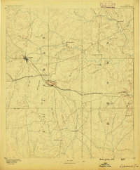
1887 · Coleman
USGS Topo · 1:125,000
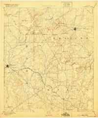
1889 · Brownwood
USGS Topo · 1:125,000
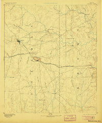
1889 · Coleman
USGS Topo · 1:125,000
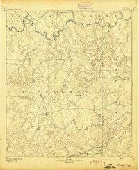
1894 · Brady
USGS Topo · 1:125,000
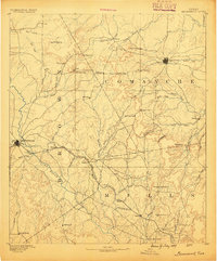
1894 · Brownwood
USGS Topo · 1:125,000
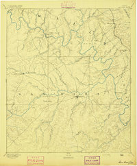
1894 · San Saba
USGS Topo · 1:125,000
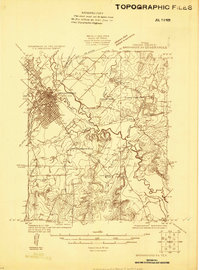
1925 · Brownwood 3-b
USGS Topo · 1:48,000
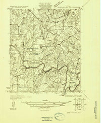
1925 · San Saba 2-a
USGS Topo · 1:48,000
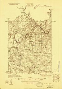
1925 · Brady 1-a
USGS Topo · 1:48,000