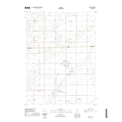
2019 Map of Pioneer
USGS Topo · Published 2019About this map
Pioneer sits at the heart of this borderland landscape, where the agricultural plains of Northwest Ohio meet the Michigan state line. The survey captures a region defined by its river systems, specifically the East Branch Saint Joseph River and its various tributaries like Silver Cr and Clear Fork. For genealogists and local historians, the map is remarkably dense with burial sites, including Floral Grove Cem near the town center and several smaller rural plots such as Amboy Cem, Drake Cem, and Pease Cem. Further south, the map documents the area near Holiday City, showcasing the modern road infrastructure including US Route 20. The grid of country roads, from Buckeye Rd to Frontier Rd, reveals the enduring rectangular survey pattern of these fertile townships, while features like Nettle Cr trace the natural drainage through the southern portion of the quadrangle.
Find a feature on this map
77 named features on this map. Tap any name to fly to it.
Don’t see what you’re looking for? This feature index may not catch every label — zoom into the map to look around manually.
Map Details
Editions of this 2019 Pioneer Map
This is the sole edition of this map. No revisions or reprints were ever made.
Other maps of this area

1913 · Alvordton
USGS Topo · 1:62,500

1914 · Pioneer
USGS Topo · 1:62,500

1944 · Pioneer
USGS Topo · 1:62,500

1944 · Alvordton
USGS Topo · 1:62,500

1953 · Fort Wayne
USGS Topo · 1:250,000

1956 · Fort Wayne
USGS Topo · 1:250,000

1959 · Reading
USGS Topo · 1:24,000

1959 · Frontier
USGS Topo · 1:24,000
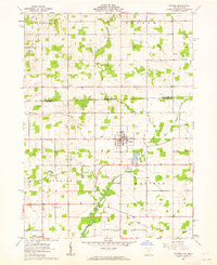
1961 · Pioneer
USGS Topo · 1:24,000
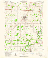
1961 · West Unity
USGS Topo · 1:24,000