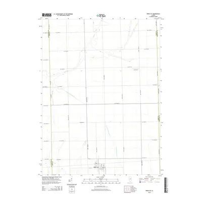
2015 Map of Piper City
USGS Topo · Published 2015About this map
Piper City occupies the southern edge of this Ford County landscape, where the town's residential grid is defined by streets like W Vine St and E Chestnut St. The surrounding countryside is a study in precision agricultural surveying, marked by an extensive network of numbered roads such as East 2800N Rd and North 1400E Rd that cross the prairie in a strict cardinal grid. This rectilinear pattern is interrupted only by the natural, meandering paths of the North Fork Vermilion River and Kelly Creek, which provide the primary drainage for the region. A notable point of local infrastructure is Read Airport, situated in the central-eastern portion of the quadrangle. The map also clearly delineates the political boundaries between neighboring Livingston and Iroquois counties, reflecting the historical division of this fertile Illinois farm country.
Find a feature on this map
38 named features on this map. Tap any name to fly to it.
Don’t see what you’re looking for? This feature index may not catch every label — zoom into the map to look around manually.
Map Details
Editions of this 2015 Piper City Map
This is the sole edition of this map. No revisions or reprints were ever made.
Other maps of this area

1944 · Piper City
USGS Topo · 1:48,000

1947 · Piper City
USGS Topo · 1:62,500

1947 · Sibley
USGS Topo · 1:62,500

1947 · Cullom
USGS Topo · 1:62,500

1948 · Buckley
USGS Topo · 1:62,500

1949 · Buckley
USGS Topo · 1:62,500

1949 · Cullom
USGS Topo · 1:62,500

1949 · Sibley
USGS Topo · 1:62,500

1958 · Peoria
USGS Topo · 1:250,000

1961 · Peoria
USGS Topo · 1:250,000