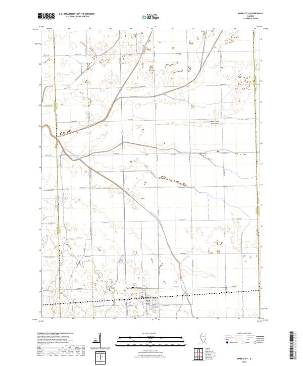
2024 Map of Piper City
USGS Topo · Published 2024About this map
Piper City serves as the central hub of this agricultural landscape in eastern Illinois, where the grid-like precision of county section lines meets the natural winding course of the North Fork Vermilion River. The town's layout is clearly defined by historical thoroughfares like Main St, Peoria St, and E Walnut St, reflecting its development as a rural community center. To the north, Kelly Creek meanders through the farmland, while the Calvary Cem and the Read Airport provide specific points of interest for genealogists and local historians. The map also delineates the jurisdictional boundaries where Ford County meets Livingston and Iroquois counties, illustrating how these administrative lines slice through the prairie. This survey provides a clear view of the modern infrastructure and drainage patterns that sustain the region's farming economy.
Find a feature on this map
40 named features on this map. Tap any name to fly to it.
Don’t see what you’re looking for? This feature index may not catch every label — zoom into the map to look around manually.
Map Details
Editions of this 2024 Piper City Map
This is the sole edition of this map. No revisions or reprints were ever made.
Other maps of this area

1944 · Piper City
USGS Topo · 1:48,000

1947 · Piper City
USGS Topo · 1:62,500

1947 · Sibley
USGS Topo · 1:62,500

1947 · Cullom
USGS Topo · 1:62,500

1948 · Buckley
USGS Topo · 1:62,500

1949 · Buckley
USGS Topo · 1:62,500

1949 · Cullom
USGS Topo · 1:62,500

1949 · Sibley
USGS Topo · 1:62,500

1958 · Peoria
USGS Topo · 1:250,000

1961 · Peoria
USGS Topo · 1:250,000