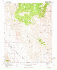
1963 Map of Piper Peak
USGS Topo · Published 1965About this map
Silver Peak Range dominance defines this 1963 survey, where high summits like Piper Peak and Sugar Peak overlook the arid expansion of Fish Lake Valley. The landscape is a map of Nevada mining history, clearly marking the remote industrial sites of the Nivloc Mine, Mohawk Mine, and Cottonwood Mine. These operations were supported by a network of critical water sources, including Jeff Davis Spring and Cottonwood Springs, which appear as rare lifelines in the high desert terrain.
Find a feature on this map
40 named features on this map. Tap any name to fly to it.
Don’t see what you’re looking for? This feature index may not catch every label — zoom into the map to look around manually.
Map Details
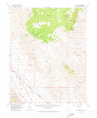
Editions of this 1963 Piper Peak Map
2 editions found
Other maps of this area

1898 · Silver Peak
USGS Topo · 1:125,000

1900 · Silver Peak
USGS Topo · 1:125,000

1908 · Lida
USGS Topo · 1:250,000

1913 · Bishop
USGS Topo · 1:125,000

1913 · Lida
USGS Topo · 1:250,000

1917 · White Mountain
USGS Topo · 1:125,000

1947 · Mariposa
USGS Topo · 1:250,000

1948 · Mariposa
USGS Topo · 1:250,000

1951 · Blanco Mountain
USGS Topo · 1:62,500

1954 · Goldfield
USGS Topo · 1:250,000