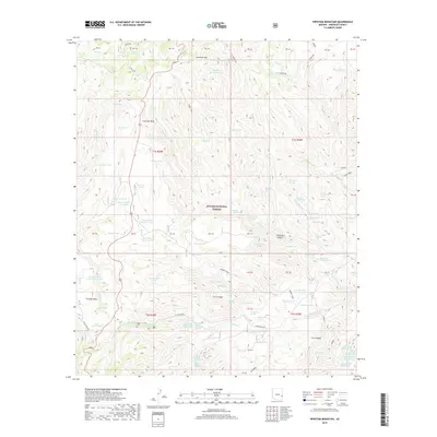
2018 Map of Pipestem Mountain
USGS Topo · Published 2018About this map
Apache National Forest dominates this section of Greenlee County, where a complex network of ranching infrastructure and trails defines the landscape. The map reveals the critical importance of water management in this arid environment, marked by dozens of named catchments such as CCC Tank, Four Bar Tank, and Shipping Tank. These features, alongside the Juan Miller Rd and the historic Smokey Trail, reflect a long-standing pattern of land use centered on livestock and forest management.
Find a feature on this map
81 named features on this map. Tap any name to fly to it.
Don’t see what you’re looking for? This feature index may not catch every label — zoom into the map to look around manually.
Map Details
Editions of this 2018 Pipestem Mountain Map
This is the sole edition of this map. No revisions or reprints were ever made.
Other maps of this area

1902 · Clifton
USGS Topo · 1:62,500

1913 · Morenci
USGS Topo · 1:125,000

1915 · Morenci
USGS Topo · 1:125,000

1954 · Clifton
USGS Topo · 1:250,000

1957 · Clifton
USGS Topo · 1:250,000

1958 · Clifton
USGS Topo · 1:250,000

1962 · Clifton
USGS Topo · 1:250,000

1962 · Clifton
USGS Topo · 1:62,500

1962 · Big Lue Mts
USGS Topo · 1:62,500

1967 · Robinson Mesa
USGS Topo · 1:24,000