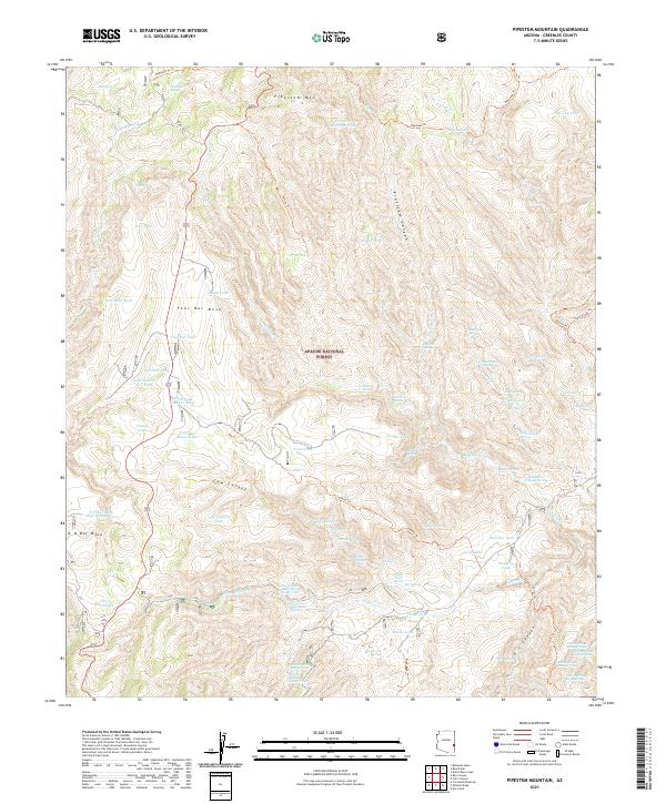
2021 Map of Pipestem Mountain
USGS Topo · Published 2021About this map
Apache National Forest lands dominate this high-elevation corner of Greenlee County, characterized by a complex network of springs, washes, and canyons. The landscape is punctuated by prominent geological features like Pipestem Mtn and the broad expanses of Four Bar Mesa and N O Bar Mesa. This territory shows a history of water management for livestock or wildlife, evidenced by a dense distribution of named water sources such as Turkey Tank, Finny Tank, and Salt Box Tank.
Find a feature on this map
93 named features on this map. Tap any name to fly to it.
Don’t see what you’re looking for? This feature index may not catch every label — zoom into the map to look around manually.
Map Details
Editions of this 2021 Pipestem Mountain Map
This is the sole edition of this map. No revisions or reprints were ever made.
Other maps of this area

1902 · Clifton
USGS Topo · 1:62,500

1913 · Morenci
USGS Topo · 1:125,000

1915 · Morenci
USGS Topo · 1:125,000

1954 · Clifton
USGS Topo · 1:250,000

1957 · Clifton
USGS Topo · 1:250,000

1958 · Clifton
USGS Topo · 1:250,000

1962 · Clifton
USGS Topo · 1:250,000

1962 · Clifton
USGS Topo · 1:62,500

1962 · Big Lue Mts
USGS Topo · 1:62,500

1967 · Robinson Mesa
USGS Topo · 1:24,000