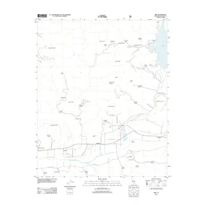
2012 Map of Piru
USGS Topo · Published 2012About this map
The Santa Clara River valley and the high, canyon-riven ridges of the Los Padres National Forest dominate this 2012 survey. Centered on the community of Piru, the map illustrates a landscape where agricultural heritage and industrial extraction coexist. To the west, the Buckhorn area and Lankershim Estate mark historical landholdings, while the east reveals the grounds of Camulos. The northern half of the quadrangle is defined by steep drainage systems like Piru Canyon and Hopper Canyon, leading toward the heights of Hopper Mountain.
Find a feature on this map
69 named features on this map. Tap any name to fly to it.
Don’t see what you’re looking for? This feature index may not catch every label — zoom into the map to look around manually.
Map Details
Editions of this 2012 Piru Map
This is the sole edition of this map. No revisions or reprints were ever made.
Other maps of this area

1900 · Piru
USGS Topo · 1:62,500

1903 · Tejon
USGS Topo · 1:125,000

1903 · Camulos
USGS Topo · 1:125,000

1903 · Santa Susana
USGS Topo · 1:62,500

1921 · Piru
USGS Topo · 1:62,500

1931 · Whitaker Peak
USGS Topo · 1:24,000

1931 · Santa Felicia Canyon
USGS Topo · 1:24,000

1935 · Santa Felicia Canyon
USGS Topo · 1:24,000

1935 · Whitaker Peak
USGS Topo · 1:24,000

1941 · Piru
USGS Topo · 1:62,500