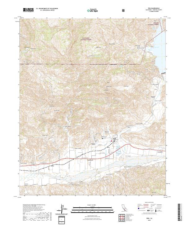
2022 Map of Piru
USGS Topo · Published 2022About this map
Piru serves as the focal point of this landscape, situated near the confluence of Piru Cr and the Santa Clara River. The topography is defined by the transition from the river valley to the steep elevations of Hopper Mtn and Sulphur Mtn. The map illustrates a complex network of canyons, such as Hopper Canyon and Torrey Canyon, which have historically dictated the placement of ranches and roads. Agricultural and ranching interests are evident in the presence of the S and J Ranch Rd and Lawton Ranch Rd. This 2022 survey also details the vast protected lands surrounding the settlement, including the Hopper Mountain National Wildlife Refuge, Angeles National Forest, and Los Padres National Forest. Genealogists may find interest in the location of the Piru Cem and small rail-side communities like Buckhorn and Camulos along the E Telegraph Rd corridor.
Find a feature on this map
76 named features on this map. Tap any name to fly to it.
Don’t see what you’re looking for? This feature index may not catch every label — zoom into the map to look around manually.
Map Details
Editions of this 2022 Piru Map
This is the sole edition of this map. No revisions or reprints were ever made.
Other maps of this area

1900 · Piru
USGS Topo · 1:62,500

1903 · Tejon
USGS Topo · 1:125,000

1903 · Camulos
USGS Topo · 1:125,000

1903 · Santa Susana
USGS Topo · 1:62,500

1921 · Piru
USGS Topo · 1:62,500

1931 · Whitaker Peak
USGS Topo · 1:24,000

1931 · Santa Felicia Canyon
USGS Topo · 1:24,000

1935 · Santa Felicia Canyon
USGS Topo · 1:24,000

1935 · Whitaker Peak
USGS Topo · 1:24,000

1941 · Piru
USGS Topo · 1:62,500