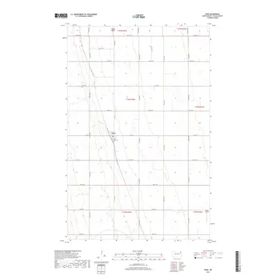
2017 Map of Pisek
USGS Topo · Published 2017About this map
Pisek stands as the central hub of this agricultural landscape in Walsh County, where a rigid grid of section roads defines the movement of modern industry and rural life. The settlement is anchored by local landmarks such as Saint Johns Cem and the nearby Sobolik Airport to the southeast. To the north, the terrain is subtly shaped by the meandering course of the Park River, which cuts through the organized township lines. This survey captures a moment in the 21st century where the connectivity of the region relies on routes like Co Rd 15 and Sunset Ave, illustrating how small-town North Dakota maintains its footprint amidst the expansive plains of the Red River Valley hinterlands.
Find a feature on this map
29 named features on this map. Tap any name to fly to it.
Don’t see what you’re looking for? This feature index may not catch every label — zoom into the map to look around manually.
Map Details
Editions of this 2017 Pisek Map
This is the sole edition of this map. No revisions or reprints were ever made.
Other maps of this area

1952 · Thief River Falls
USGS Topo · 1:250,000

1956 · Thief River Falls
USGS Topo · 1:250,000

1957 · Thief River Falls
USGS Topo · 1:250,000

1963 · Inkster NE
USGS Topo · 1:24,000

1963 · Edinburg
USGS Topo · 1:24,000

1963 · Pleasant Valley
USGS Topo · 1:24,000

1963 · Pisek
USGS Topo · 1:24,000

1963 · Veseleyville
USGS Topo · 1:24,000

1963 · Fordville
USGS Topo · 1:24,000

1963 · Nash
USGS Topo · 1:24,000