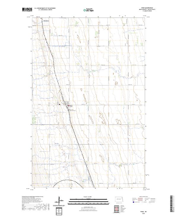
2024 Map of Pisek
USGS Topo · Published 2024About this map
Pisek stands as the primary settlement in this section of Walsh County, situated within a vast grid of agricultural land and section roads. The town's Czech heritage is reflected in the presence of the Pisek ZCBJ Cem, associated with the Western Fraternal Life Association, and Saint John's Nepomucene Cem, which serves the local Catholic community. These landmarks, along with the town's residential layout along Sunset Ave and Shanley Ave, define the community's footprint. The surrounding landscape is characterized by the meandering path of the Park River in the northwest corner, which provides the only major natural break in the otherwise strictly ordered township and range system. This 2024 survey documents the enduring spatial organization of this prairie community, where the intersection of Co Rd 15 and the local rail corridor remains the central axis for local commerce and residency.
Find a feature on this map
30 named features on this map. Tap any name to fly to it.
Don’t see what you’re looking for? This feature index may not catch every label — zoom into the map to look around manually.
Map Details
Editions of this 2024 Pisek Map
This is the sole edition of this map. No revisions or reprints were ever made.
Other maps of this area

1952 · Thief River Falls
USGS Topo · 1:250,000

1956 · Thief River Falls
USGS Topo · 1:250,000

1957 · Thief River Falls
USGS Topo · 1:250,000

1963 · Inkster NE
USGS Topo · 1:24,000

1963 · Edinburg
USGS Topo · 1:24,000

1963 · Pleasant Valley
USGS Topo · 1:24,000

1963 · Pisek
USGS Topo · 1:24,000

1963 · Veseleyville
USGS Topo · 1:24,000

1963 · Fordville
USGS Topo · 1:24,000

1963 · Nash
USGS Topo · 1:24,000