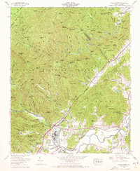
1965 Map of Pisgah Forest
USGS Topo · Published 1972About this map
Ecusta and the adjacent industrial infrastructure along the Davidson River anchor the southwestern corner of this mid-1960s study, where the mountain terrain of the Pisgah National Forest meets the valley lowlands. The landscape transitions from the high elevations of Rich Mountain and Clawhammer Mountain down to the fertile river bottoms defined by the confluence of the French Broad River and the Little River. The Southern Railway corridors and roads like Turnpike Road trace the natural topography, connecting established local communities such as Penrose and Blantyre.
Find a feature on this map
158 named features on this map. Tap any name to fly to it.
Don’t see what you’re looking for? This feature index may not catch every label — zoom into the map to look around manually.
Map Details
Editions of this 1965 Pisgah Forest Map
4 editions found
Other maps of this area

1905 · Pisgah
USGS Topo · 1:125,000

1906 · Pisgah
USGS Topo · 1:125,000

1935 · Cruso
USGS Topo · 1:24,000

1935 · Brevard
USGS Topo · 1:24,000

1935 · Standingstone Mtn.
USGS Topo · 1:24,000

1935 · Horse Shoe
USGS Topo · 1:24,000

1935 · Rosman
USGS Topo · 1:24,000

1935 · Shining Rock
USGS Topo · 1:24,000

1935 · Pisgah Forest
USGS Topo · 1:24,000

1936 · Skyland
USGS Topo · 1:24,000