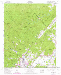
1965 Map of Pisgah Forest
USGS Topo · Published 1978About this map
Brevard and the industrial hub at Ecusta anchor this mid-1960s landscape, where the Davidson River joins the French Broad River. The map reveals a transition from the developing town center, featuring the Transylvania Community Hospital and local schools, to the vast protected wilderness of Pisgah National Forest and Pisgah Game Lands. This era shows the active Southern Railroad line serving the river valley's industry near Pisgah Forest, while older rural footprints remain visible through numerous family and community landmarks. Genealogists will find many preserved burial grounds, including the Davidson River Cem, Turkey Creek Cem, and McCall Cem. The rugged terrain north of the valley is defined by high ridges like Grindstone Ridge and Rich Mountain, cut by the North Fork Mills River and South Fork Mills River. Notable recreational sites like Camp Carolina and the Davidson River Recreational Area mark the early emergence of the region's modern mountain tourism economy.
Find a feature on this map
146 named features on this map. Tap any name to fly to it.
Don’t see what you’re looking for? This feature index may not catch every label — zoom into the map to look around manually.
Map Details
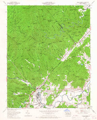
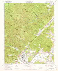
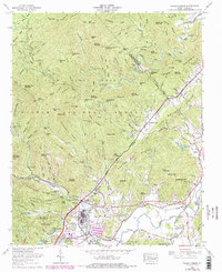
Editions of this 1965 Pisgah Forest Map
4 editions found
Other maps of this area

1905 · Pisgah
USGS Topo · 1:125,000

1906 · Pisgah
USGS Topo · 1:125,000

1935 · Cruso
USGS Topo · 1:24,000

1935 · Brevard
USGS Topo · 1:24,000

1935 · Standingstone Mtn.
USGS Topo · 1:24,000

1935 · Horse Shoe
USGS Topo · 1:24,000

1935 · Rosman
USGS Topo · 1:24,000

1935 · Shining Rock
USGS Topo · 1:24,000

1935 · Pisgah Forest
USGS Topo · 1:24,000

1936 · Skyland
USGS Topo · 1:24,000