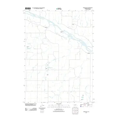
2011 Map of Pishelville
USGS Topo · Published 2011About this map
The Niobrara River winds through this section of Knox County, defining a landscape of braided channels and riparian islands such as Pishelville Island. Small rural settlements like Pishelville, Dukeville, and Jelen anchor the upland plateaus, which are gridded by a network of rural roads including 890 Rd and 515 Ave. The map reflects a localized water management system characterized by private or agricultural impoundments, most notably Haineraich Reservoir, Vonasek Reservoir, and Farnik Reservoir, each supported by their respective dams.
Find a feature on this map
34 named features on this map. Tap any name to fly to it.
Don’t see what you’re looking for? This feature index may not catch every label — zoom into the map to look around manually.
Map Details
Editions of this 2011 Pishelville Map
This is the sole edition of this map. No revisions or reprints were ever made.
Other maps of this area

1950 · Niobrara
USGS Topo · 1:24,000

1950 · Verdel
USGS Topo · 1:24,000

1950 · Verdigre NE
USGS Topo · 1:24,000

1950 · Pishelville
USGS Topo · 1:24,000

1950 · Monowi
USGS Topo · 1:24,000

1952 · Monowi
USGS Topo · 1:24,000

1952 · Dorsey
USGS Topo · 1:24,000

1954 · Walnut
USGS Topo · 1:24,000

1954 · Verdigre
USGS Topo · 1:24,000

1954 · Star
USGS Topo · 1:24,000