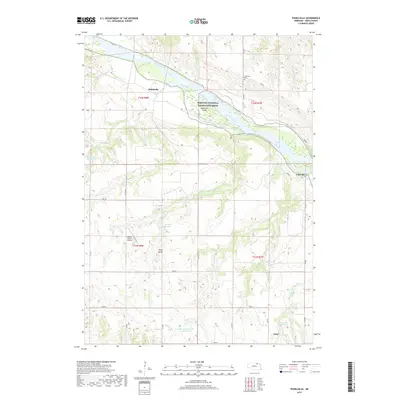
2017 Map of Pishelville
USGS Topo · Published 2017About this map
The Niobrara River carves a significant corridor through this northern Nebraska landscape, defining a region where water management and ranching intersect. This 2017 survey highlights the Missouri National Recreation River designation, protecting the river's character near Pishelville Island. The area's agricultural life is evident in the numerous small-scale water projects, including Vonasek Reservoir, Farnik Reservoir, and Bartos Reservoir Number 2, which dot the drainages of Pishel Creek and Schindler Cr.
Find a feature on this map
30 named features on this map. Tap any name to fly to it.
Don’t see what you’re looking for? This feature index may not catch every label — zoom into the map to look around manually.
Map Details
Editions of this 2017 Pishelville Map
This is the sole edition of this map. No revisions or reprints were ever made.
Other maps of this area

1950 · Niobrara
USGS Topo · 1:24,000

1950 · Verdel
USGS Topo · 1:24,000

1950 · Verdigre NE
USGS Topo · 1:24,000

1950 · Pishelville
USGS Topo · 1:24,000

1950 · Monowi
USGS Topo · 1:24,000

1952 · Monowi
USGS Topo · 1:24,000

1952 · Dorsey
USGS Topo · 1:24,000

1954 · Walnut
USGS Topo · 1:24,000

1954 · Verdigre
USGS Topo · 1:24,000

1954 · Star
USGS Topo · 1:24,000