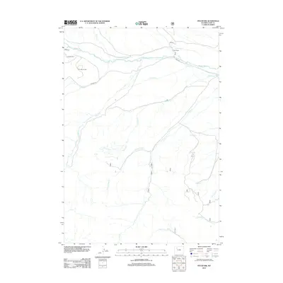
2012 Map of Pitchfork
USGS Topo · Published 2012About this map
Greybull River serves as the central artery for this remote corner of Wyoming, where ranching and energy production define the high-desert landscape. The historic Z Bar T Ranch sits near the confluence with Rose Cr, supported by an intricate network of irrigation including the Pitchfork Ditch and Sunshine Supply Ditch. To the southwest, the industrial footprint of the Four Bear Oil Field is visible, accessed by Philips Mt Rd as it winds through the drainage of Four Bear Cr. The terrain is deeply incised by numerous seasonal and perennial flows such as Francs Fork, Timber Cr, and Pickett Cr, illustrating a complex watershed that has long dictated the placement of roads and homesteads in the region.
Find a feature on this map
21 named features on this map. Tap any name to fly to it.
Don’t see what you’re looking for? This feature index may not catch every label — zoom into the map to look around manually.
Map Details
Editions of this 2012 Pitchfork Map
This is the sole edition of this map. No revisions or reprints were ever made.
Other maps of this area

1904 · Kirwin
USGS Topo · 1:125,000

1906 · Kirwin
USGS Topo · 1:125,000

1955 · Cody
USGS Topo · 1:250,000

1955 · Thermopolis
USGS Topo · 1:250,000

1957 · Irish Rock
USGS Topo · 1:62,500

1957 · Sunshine Reservoir
USGS Topo · 1:62,500

1958 · Cody
USGS Topo · 1:250,000

1958 · Thermopolis
USGS Topo · 1:250,000

1962 · Thermopolis
USGS Topo · 1:250,000

1962 · Cody
USGS Topo · 1:250,000