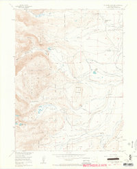
1955 Map of Pitchpine Mountain
USGS Topo · Published 1963About this map
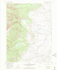
Carlstrom Brothers Ranch and Brands Ranch anchor the high-altitude agricultural landscape of Jackson County, where ranching operations are tied closely to a complex network of irrigation ditches. Recorded in the mid-1950s, this area of the Routt National Forest transitions from the managed water systems of the lower gulches into the steep wilderness surrounding Pitchpine Mountain. An Artesian Well located near Spring Gulch highlights the importance of reliable water sources in this environment. To the west, the terrain rises sharply into the high country, defined by the Roaring Fork and isolated alpine waters such as Red Canyon Lake and Lower Rainbow Lake. A series of backcountry routes, including the Lone Pine Trail and Sunday Creek Trail, provide the primary access through these high-elevation parks and creek basins.
Find a feature on this map
40 named features on this map. Tap any name to fly to it.
Don’t see what you’re looking for? This feature index may not catch every label — zoom into the map to look around manually.
Map Details
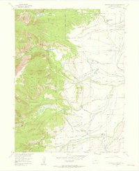
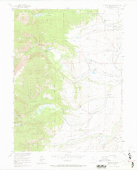
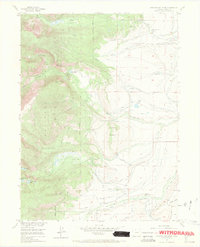
Editions of this 1955 Pitchpine Mountain Map
7 editions found
Other maps of this area

1911 · Hahns Peak
USGS Topo · 1:125,000

1913 · Hahns Peak
USGS Topo · 1:125,000

1954 · Craig
USGS Topo · 1:250,000

1955 · Lake John
USGS Topo · 1:24,000

1955 · Buffalo Pass
USGS Topo · 1:24,000

1955 · Mount Zirkel
USGS Topo · 1:24,000

1955 · Pitchpine Mountain
USGS Topo · 1:24,000

1955 · Mount Ethel
USGS Topo · 1:24,000

1955 · Teal Lake
USGS Topo · 1:24,000

1955 · Delaney Butte
USGS Topo · 1:24,000