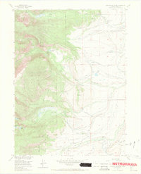
1955 Map of Pitchpine Mountain
USGS Topo · Published 1971About this map
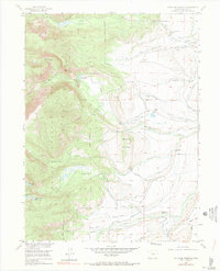
Routt National Forest dominates this mid-century landscape in Jackson County, where the high-altitude terrain is defined by the steep descent of the Roaring Fork and the waters of Red Canyon Reservoir. The eastern foothills transition into a ranching economy, marked by established family operations such as the Carlstrom Brothers Ranch and Brands Ranch. This area reveals a complex water management system of ditches—including the Wolfer and Manville networks—essential for sustaining these high-country pastures.
Find a feature on this map
42 named features on this map. Tap any name to fly to it.
Don’t see what you’re looking for? This feature index may not catch every label — zoom into the map to look around manually.
Map Details
Editions of this 1955 Pitchpine Mountain Map
7 editions found
Other maps of this area

1911 · Hahns Peak
USGS Topo · 1:125,000

1913 · Hahns Peak
USGS Topo · 1:125,000

1954 · Craig
USGS Topo · 1:250,000

1955 · Lake John
USGS Topo · 1:24,000

1955 · Buffalo Pass
USGS Topo · 1:24,000

1955 · Mount Zirkel
USGS Topo · 1:24,000

1955 · Pitchpine Mountain
USGS Topo · 1:24,000

1955 · Mount Ethel
USGS Topo · 1:24,000

1955 · Teal Lake
USGS Topo · 1:24,000

1955 · Delaney Butte
USGS Topo · 1:24,000