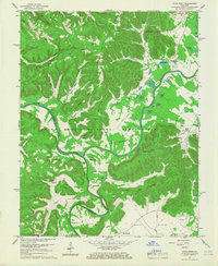
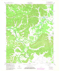
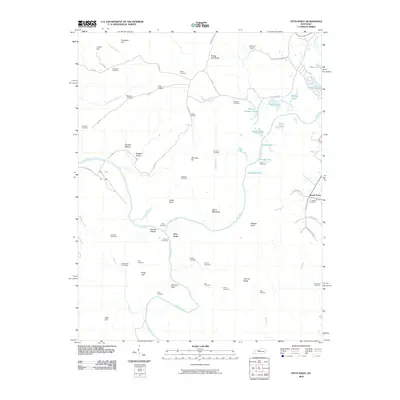
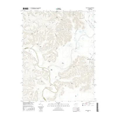
1960 Map of Pitts Point
USGS Topo · Published 1968About this map
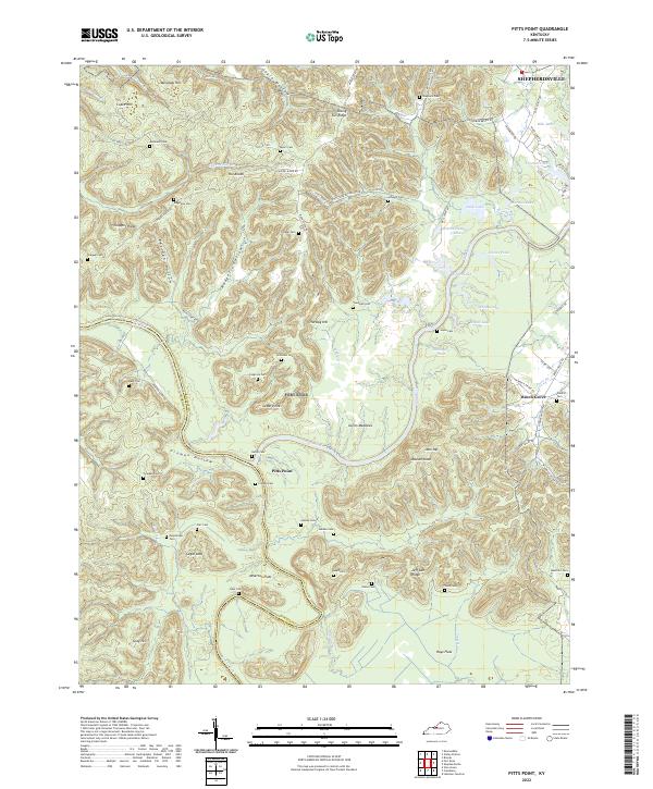
The Fort Knox Military Reservation dominates this landscape along the meandering Salt River and Rolling Fork. This 1960 revision of earlier surveys reveals a terrain defined by ridges and flats, where the small settlement of Pitts Point sits at a critical junction of the river and Pitts Point Road. The area is densely populated with small family and community burial grounds, such as Anderson Cem, Myers Cem, and Ridgeway Cem, providing a deep genealogical record for researchers. Landforms like The Knobs and Rising Sun Ridge frame the waterways, while the Floating Bridge Site on the river suggests earlier modes of transport in this corner of Bullitt and Hardin counties. In the southern flats, the Hays School and Atherton Flats mark the transition from the upland ridges to the broader river bottomlands.
Find a feature on this map
71 named features on this map. Tap any name to fly to it.
Don’t see what you’re looking for? This feature index may not catch every label — zoom into the map to look around manually.
Map Details
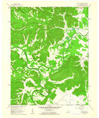
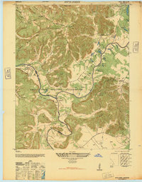
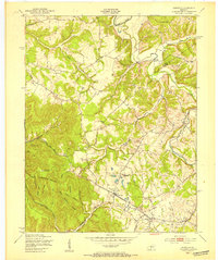
Editions of this 1960 Pitts Point Map
3 editions found
Historical Maps of Shepherdsville Through Time
16 maps found
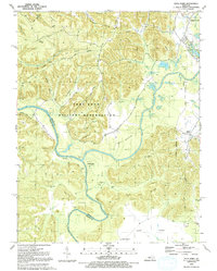
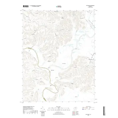
1946 Pitts Point
Bullitt County, KY
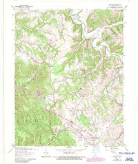
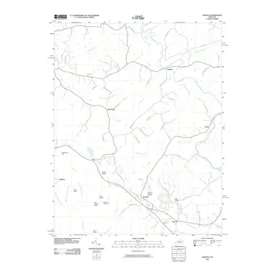
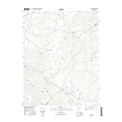
1949 Samuels
Bullitt County, KY
1960 Pitts Point
Bullitt County, KY
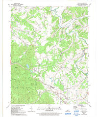
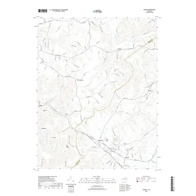
1962 Samuels
Bullitt County, KY
1991 Pitts Point
Bullitt County, KY
1991 Samuels
Bullitt County, KY
2010 Pitts Point
Bullitt County, KY
2010 Samuels
Bullitt County, KY
2013 Pitts Point
Bullitt County, KY
2013 Samuels
Bullitt County, KY
2016 Pitts Point
Bullitt County, KY
2016 Samuels
Bullitt County, KY
2019 Pitts Point
Bullitt County, KY
2019 Samuels
Bullitt County, KY
2022 Pitts Point
Bullitt County, KY
2022 Samuels
Bullitt County, KY