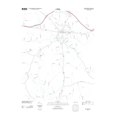
2013 Map of Pittsboro
USGS Topo · Published 2013About this map
Pittsboro serves as the central hub of this contemporary survey, showing the town's modern footprint at the intersection of major routes. The landscape is defined by its water resources and industrial sites, notably the Upper Pittsboro Water Supply Pond and the Webster Poultry Company Pond. To the west, the elevation rises toward Round Top Mountain, while the southern portion of the quadrangle is drained by the Rocky River and Bear Cr.
Find a feature on this map
121 named features on this map. Tap any name to fly to it.
Don’t see what you’re looking for? This feature index may not catch every label — zoom into the map to look around manually.
Map Details
Editions of this 2013 Pittsboro Map
This is the sole edition of this map. No revisions or reprints were ever made.
Other maps of this area

1951 · Farrington
USGS Topo · 1:24,000

1953 · Raleigh
USGS Topo · 1:250,000

1954 · Raleigh
USGS Topo · 1:250,000

1968 · Bynum
USGS Topo · 1:24,000

1969 · New Hope Dam
USGS Topo · 1:24,000

1970 · Goldston
USGS Topo · 1:24,000

1970 · Pittsboro
USGS Topo · 1:24,000

1970 · Colon
USGS Topo · 1:24,000

1970 · Moncure
USGS Topo · 1:24,000

1970 · Siler City NE
USGS Topo · 1:24,000