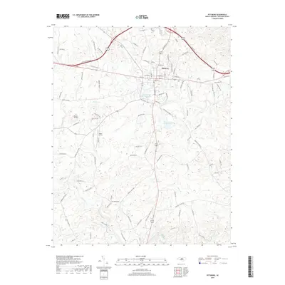
2019 Map of Pittsboro
USGS Topo · Published 2019About this map
Pittsboro serves as the central hub of this Chatham County landscape, where the street grid transitions into a network of rural routes named for local families and early industry. Water management is a defining characteristic of the area, evidenced by the Upper Pittsboro Water Supply Pond and the Webster Poultry Company Pond. The terrain is shaped by the winding course of the Rocky River and its numerous tributaries, including Harlands Cr and Turkey Cr. In the western portion of the sheet, Round Top Mtn provides a distinct topographic landmark amidst the rolling drainage basins. Historical transit patterns are preserved in road names like Henleys Mill Rd and Mays Chapel Rd, suggesting the locations of former community centers and milling sites that once anchored the local economy.
Find a feature on this map
98 named features on this map. Tap any name to fly to it.
Don’t see what you’re looking for? This feature index may not catch every label — zoom into the map to look around manually.
Map Details
Editions of this 2019 Pittsboro Map
This is the sole edition of this map. No revisions or reprints were ever made.
Other maps of this area

1951 · Farrington
USGS Topo · 1:24,000

1953 · Raleigh
USGS Topo · 1:250,000

1954 · Raleigh
USGS Topo · 1:250,000

1968 · Bynum
USGS Topo · 1:24,000

1969 · New Hope Dam
USGS Topo · 1:24,000

1970 · Goldston
USGS Topo · 1:24,000

1970 · Pittsboro
USGS Topo · 1:24,000

1970 · Colon
USGS Topo · 1:24,000

1970 · Moncure
USGS Topo · 1:24,000

1970 · Siler City NE
USGS Topo · 1:24,000