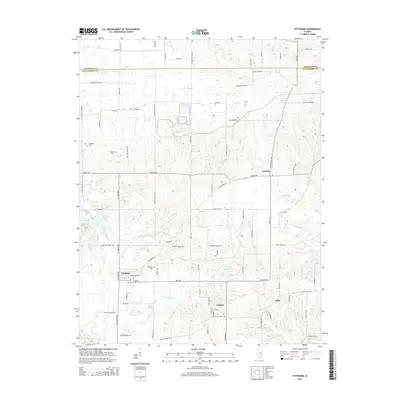
2015 Map of Pittsburg
USGS Topo · Published 2015About this map
Pittsburg serves as a central hub in this Southern Illinois landscape, where the local road network reflects generations of rural settlement and agriculture. Small communities like Paulton, Corinth, and Attila are connected by a dense grid of named routes, including Jordans Fort Rd and Liberty School Rd, hinting at the location of former community landmarks. The terrain is defined by the winding paths of Crab Orchard Cr and Pond Cr, which drain the low-lying areas between the county lines of Franklin Co and Williamson Co. Genealogists will find significant value in the distribution of family and community burial sites across the township, including Stilley Cem, Sanders Cem, and Murphey Cem. To the west, the presence of Johnston City Lake and Fresh Water Lake suggests local water management and recreation sites that have shaped the region's development.
Find a feature on this map
84 named features on this map. Tap any name to fly to it.
Don’t see what you’re looking for? This feature index may not catch every label — zoom into the map to look around manually.
Map Details
Editions of this 2015 Pittsburg Map
This is the sole edition of this map. No revisions or reprints were ever made.
Other maps of this area

1908 · Galatia
USGS Topo · 1:62,500

1909 · West Frankfort
USGS Topo · 1:62,500

1925 · Marion
USGS Topo · 1:62,500

1925 · Harrisburg
USGS Topo · 1:62,500

1938 · Galatia
USGS Topo · 1:62,500

1939 · Harrisburg
USGS Topo · 1:62,500

1940 · Marion
USGS Topo · 1:62,500

1941 · West Frankfort
USGS Topo · 1:62,500

1949 · Paducah
USGS Topo · 1:250,000

1950 · Paducah
USGS Topo · 1:250,000